Highways · Newfoundland · Bonavista
 Written by Dan
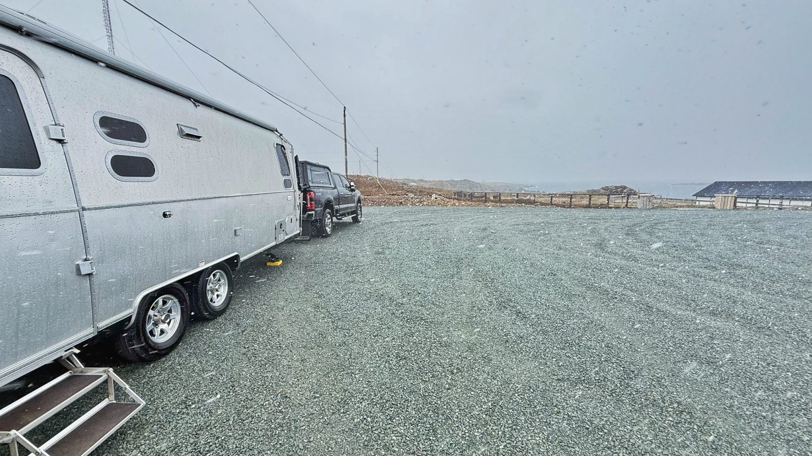
The morning we woke up to nearly 70 mph winds, bitter temperatures, and horizontal snow. The Airstream kept us warm and very comfortable through all of it.
After a great stay in Twillingate, we pushed further around the TCH and headed to Bonavista. It turned out to be one of the fullest stops of the whole trip: a cliffside camp, a sea cave, a colony of puffins, a 19th-century lighthouse, and a storm that made us pack up and move.
It's 226 miles from Twillingate to Bonavista, about 5 hours and 30 minutes. We picked our way back to the Trans-Canada Highway and rode it south and east before turning off onto Route 230, better known as the Discovery Trail, which runs the length of the Bonavista Peninsula out to the town itself.
Bonavista is one of the oldest communities in North America. The story goes that the explorer John Cabot sailed into view of this coast on June 24, 1497, and called out "O Buona Vista," Italian for "Oh, happy sight." Whether this exact cape was what he saw is still debated, but Bonavista has claimed the name and the story for centuries, right down to the statue of Cabot that stands near the lighthouse today.
The town itself was settled in the mid-1600s and grew into one of Newfoundland's busiest fishing centers, servicing thousands of people across the peninsula at its peak. When the cod fishery was shut down in 1992, the town's population was cut roughly in half. Around 3,200 people live here now, and the harbor and downtown commercial district are still the heart of the place.
We'd originally planned to stay at the park near the base of the Bonavista lighthouse, the one everyone calls John Cabot Provincial Park because of the statue that watches over it. It's actually Landfall Municipal Park, but the name never seems to stick. When we got there, a few rigs were already parked. The lot was small enough that we probably could have fit, but it would have felt crowded, and only a couple of spots were actually level. The rest had enough grade that leveling would have been a real project.
About a quarter mile before the park, Heather spotted a large flat pull-off on the east side of the road, so we turned around and set up there instead. It was flat, with plenty of room, a fantastic view, and plenty of privacy. We were still committed to boondocking, since most campgrounds in Newfoundland don't open until mid to late May.
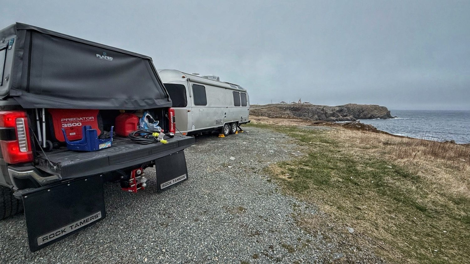
I positioned us for the best view of the water and the lighthouse, about three-quarters of a mile away.
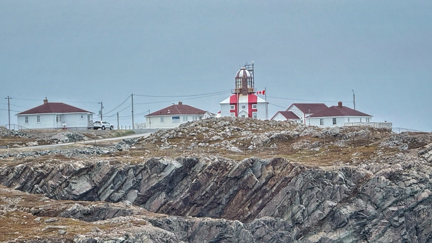
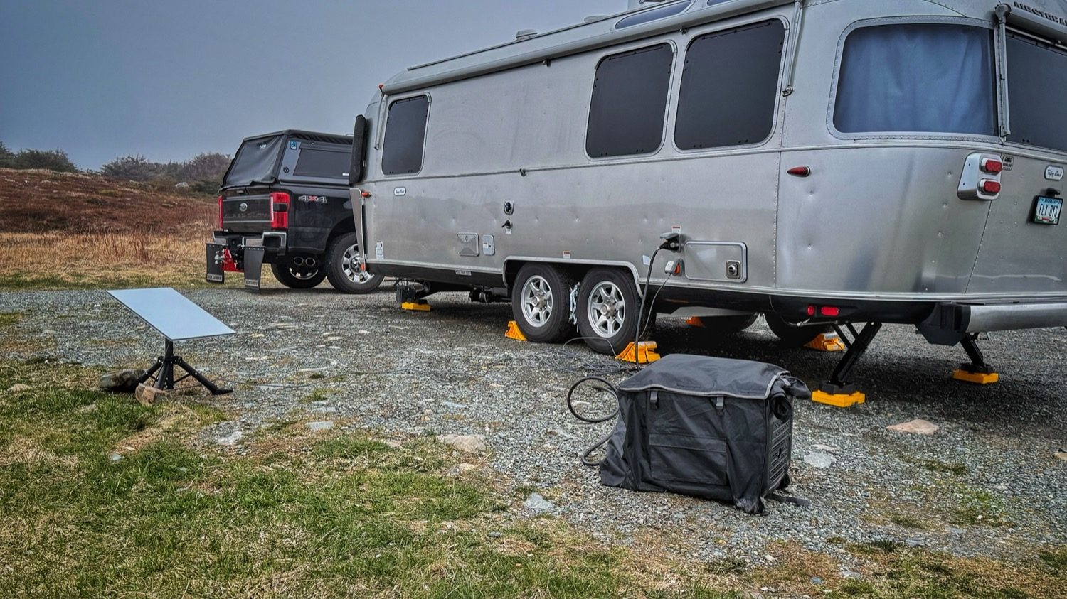
Evening was settling in, so after I finished setting up outside, and Heather finished the inside like she always does, I did a little exploring around the area. Just like Twillingate, the coastline here was treacherous, with steep cliffs all around. I always carry an old Walmart bag when I'm out hiking, and I was glad I had it. Garbage was scattered around the area, no doubt blown out of a nearby trash can by the wind, so I picked up what I could while I explored. The end result was much better. Raising two boys who are Eagle Scouts, some habits never die, and I always try to leave a place better than I found it.
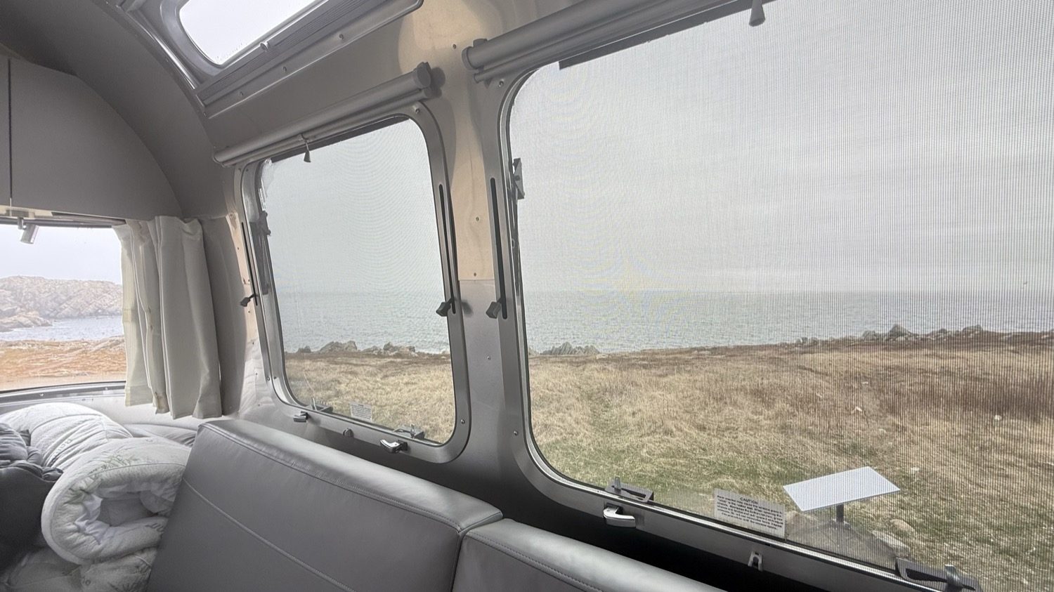
That view, framed right through our own window.
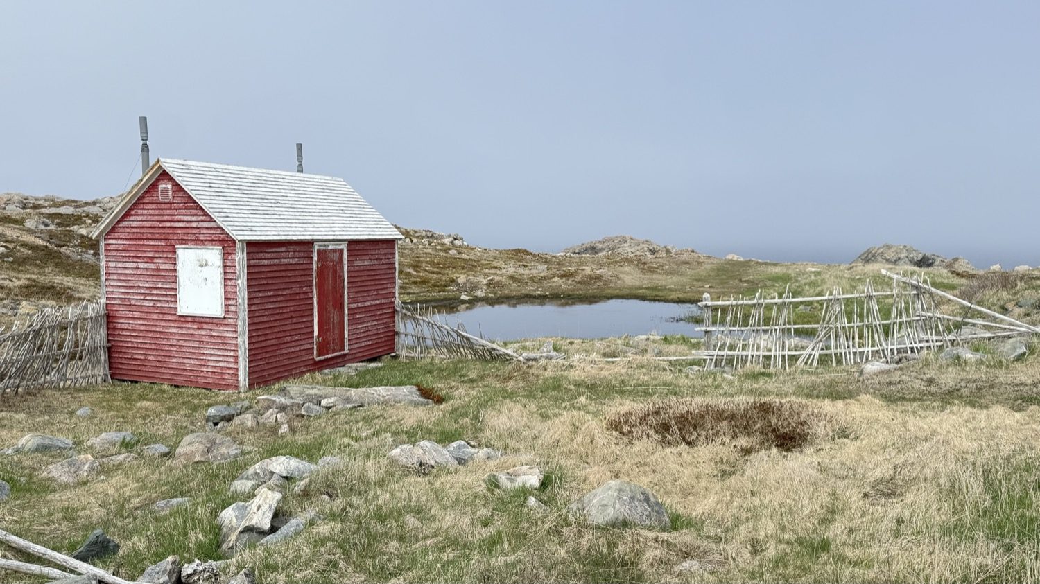
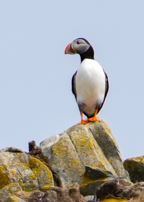
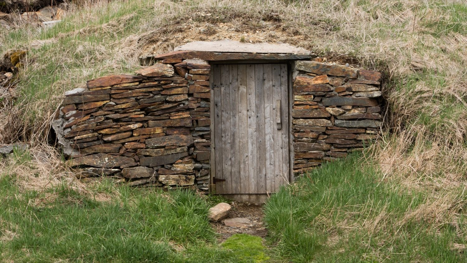
The next day we drove to Elliston to watch the puffins. Elliston calls itself the Root Cellar Capital of the World, and it earns it: the town has something like 135 root cellars dug into the hillsides, traditional underground storage for potatoes and other vegetables, and about half of them are still in use. It was known as Bird Island Cove until it was incorporated as Elliston in 1965.
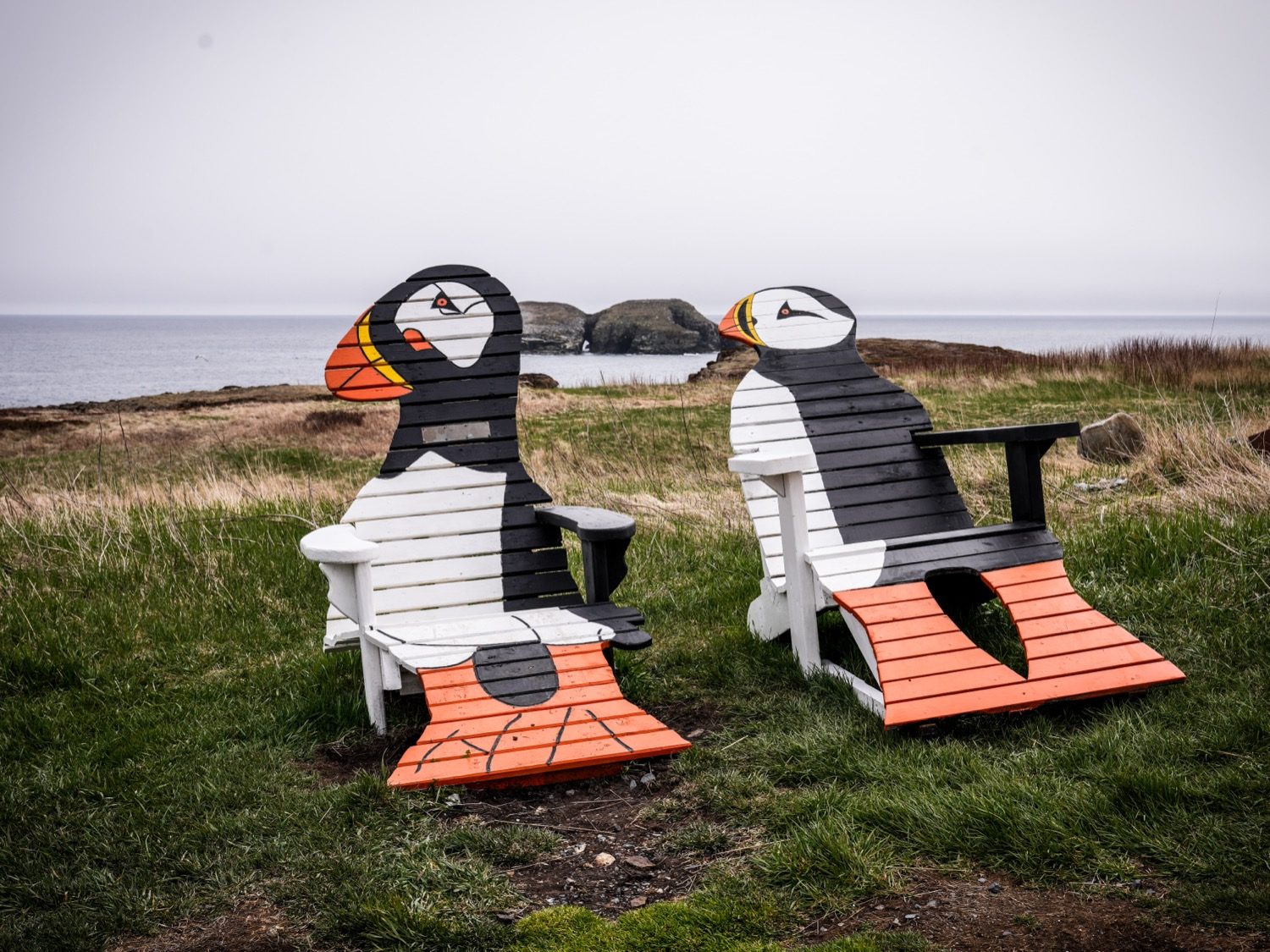
You know what you're here for before you even reach the water.
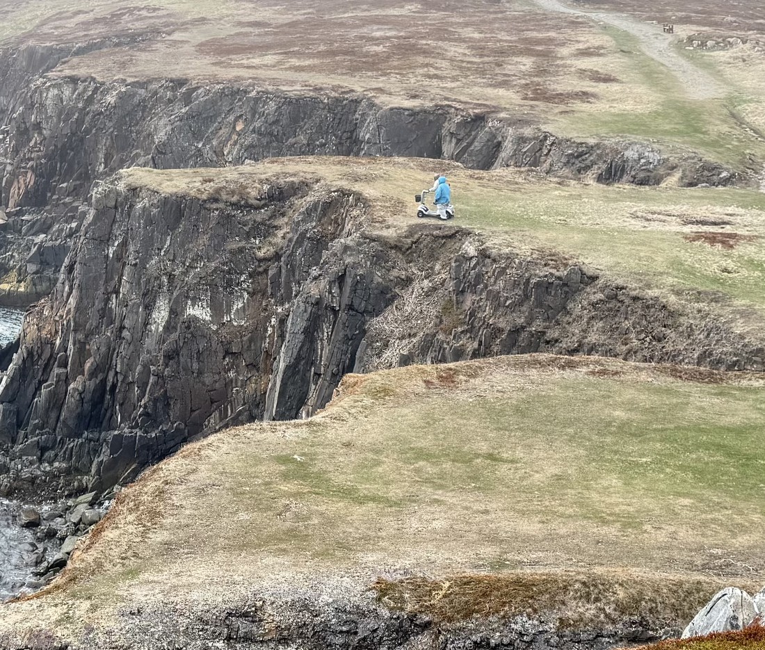
The puffin viewing site is supposed to be the closest land-based puffin viewing in North America, and it's easy to believe once you're out there. There's a trail out to the observation point, but it can be rough in spots. Heather's dad, Mike, had his all-terrain mobility scooter with him, but even that couldn't handle the terrain, so he wasn't able to make it all the way out to the point with us. We'd take another puffin excursion later in the trip so he could see them too.
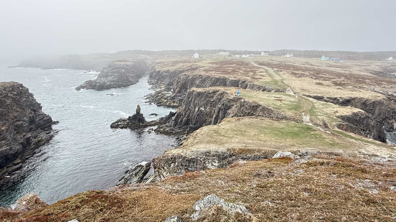
The trail leading out to the point, cutting right along the clifftop.
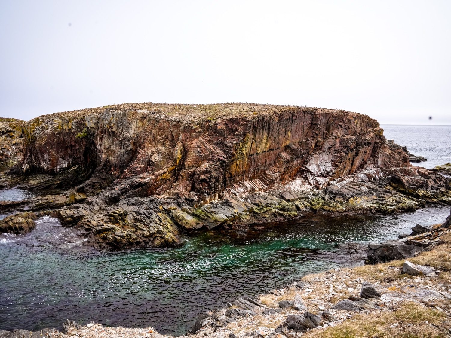
The nesting cliff, from the viewing point.
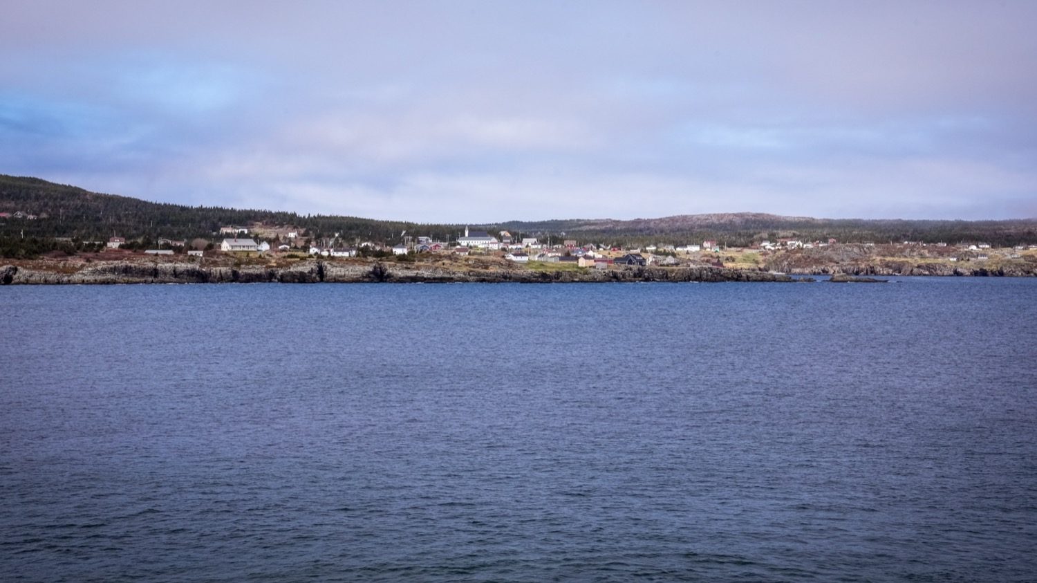
The view across the water at Elliston.
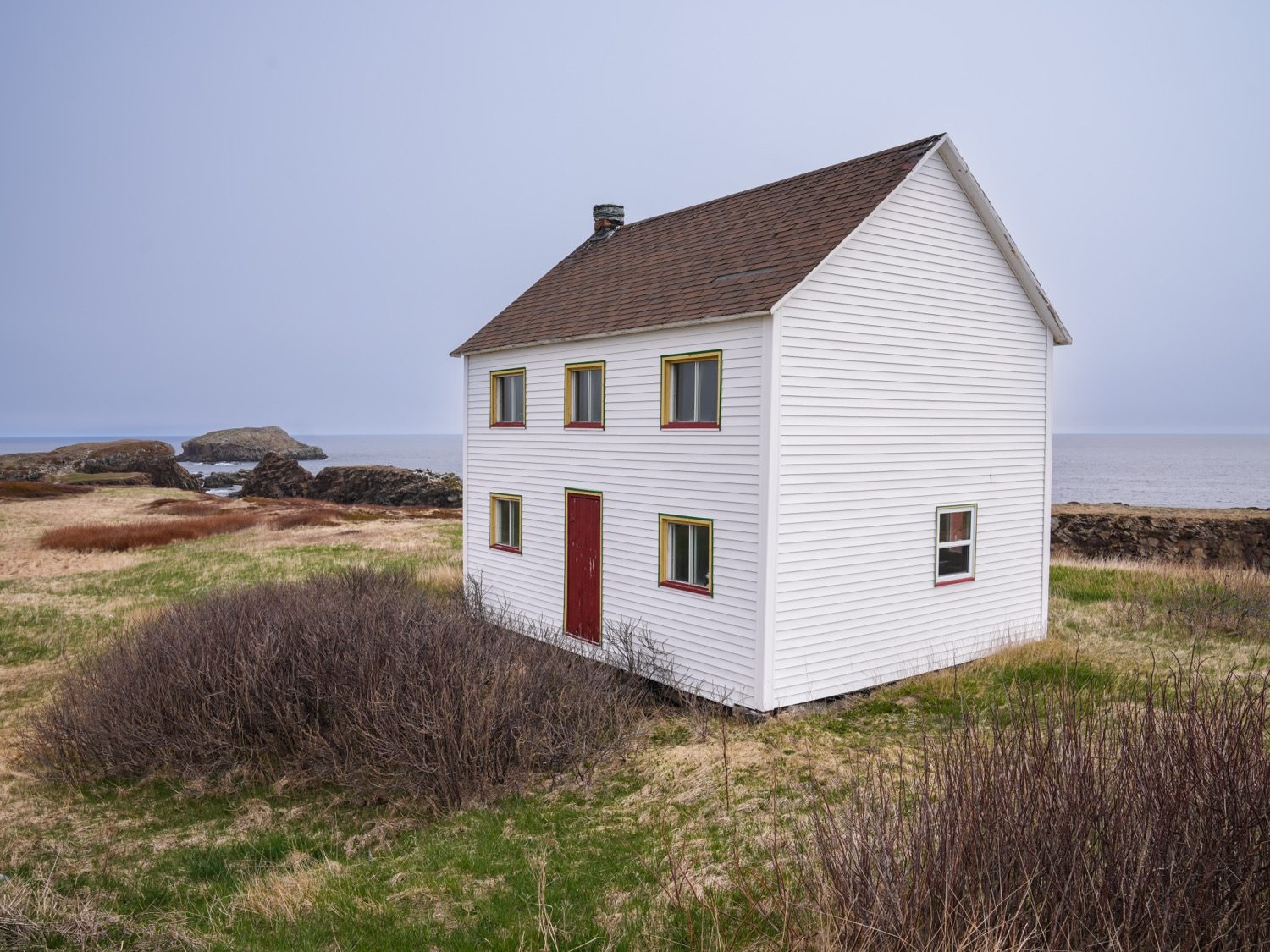
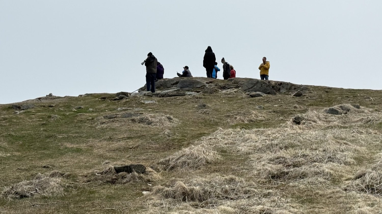
The viewing point, shared with a handful of other visitors that afternoon.
From there, we drove to Dungeon Provincial Park, on, fittingly, Dungeon Road. The park is built around a single strange feature: a collapsed sea cave, called a gloup locally, with an opening more than 300 feet across. Two sea caves spent something like 10,000 years being carved into the sandstone by the Atlantic before they connected underground and the roof gave out, leaving the double archway and the pool of clear water you can see today. It's part of the Discovery UNESCO Global Geopark, and the erosion that made it is still going. Eventually the arches will collapse too, and the Dungeon will end up as a plain sea stack.
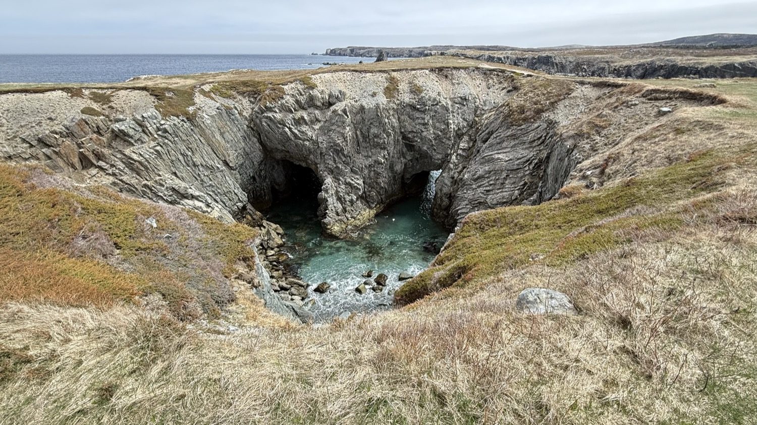
The Dungeon, from the cliff above it.
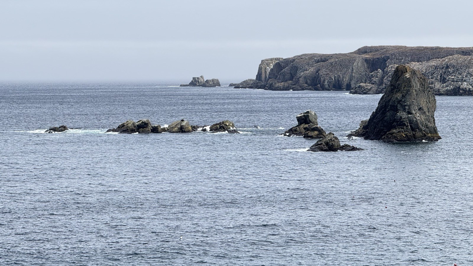
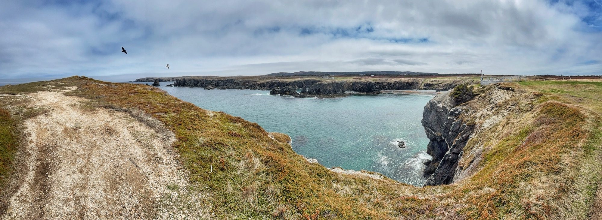
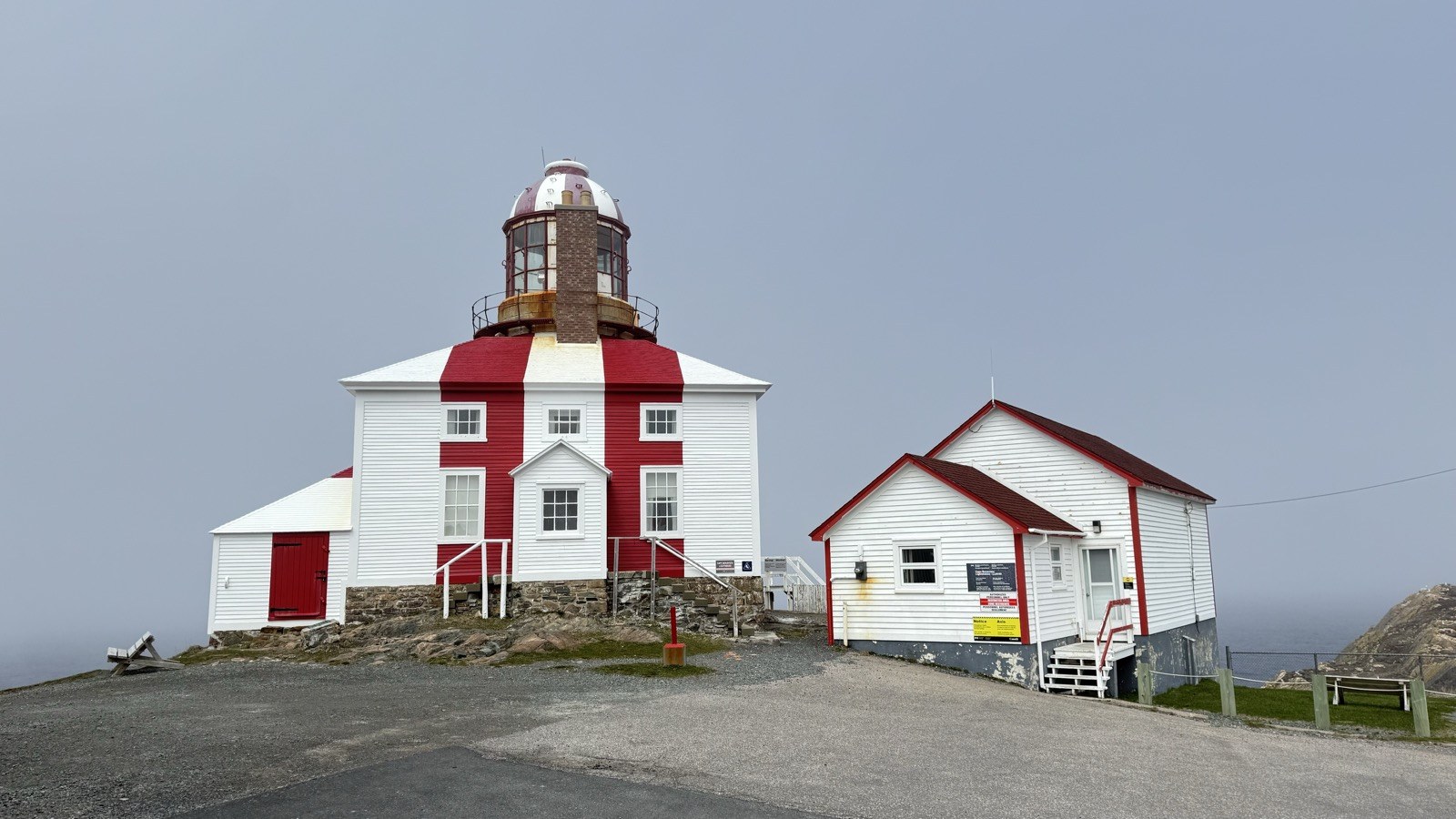
The Cape Bonavista Lighthouse, up close.
After returning from Dungeon Provincial Park, we spent the rest of the day exploring the Bonavista lighthouse. It was built between 1841 and 1843, making it the fourth-oldest lighthouse in Newfoundland, and it's one of the few left anywhere where you can still climb the tower and see the original apparatus: a seal-oil-fueled light with the same reflectors that came from Scotland's Bell Rock Lighthouse when it was installed. The lighthouse operated from 1843 until 1962 and is now a provincial museum, with an exhibit on what life was like for a lighthouse keeper's family in the 1870s.
In 1913, a fog alarm was added on Cape Island, just offshore, connected to the mainland by a wooden footbridge. An eighteen-year-old named Hubert Abbott was hired to tend it.
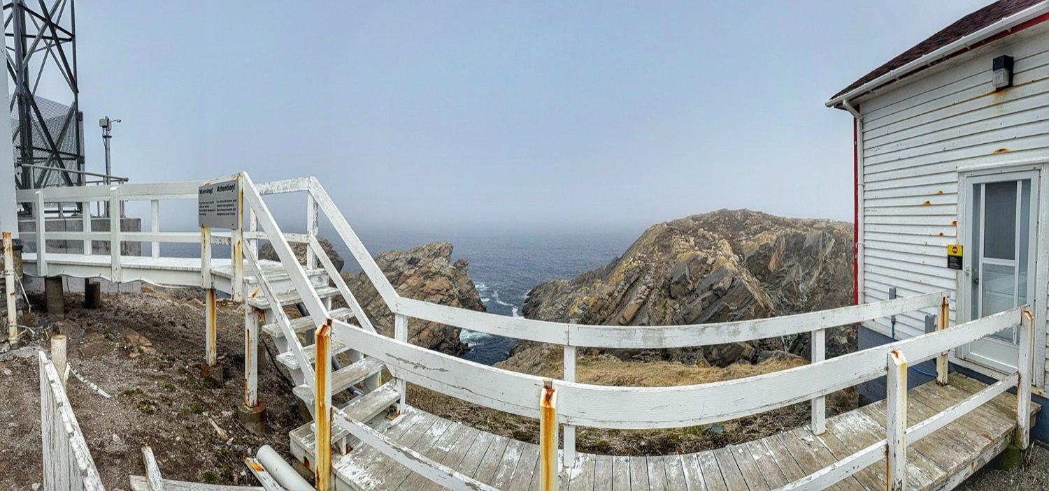
The walkway between the lightkeeper's house and a transmission tower.
One word of caution. If you walk the path between the lighthouse and the ocean, the foghorn is dangerously loud and could damage your hearing. There are signs posted warning you of this, so keep it in mind if you go.
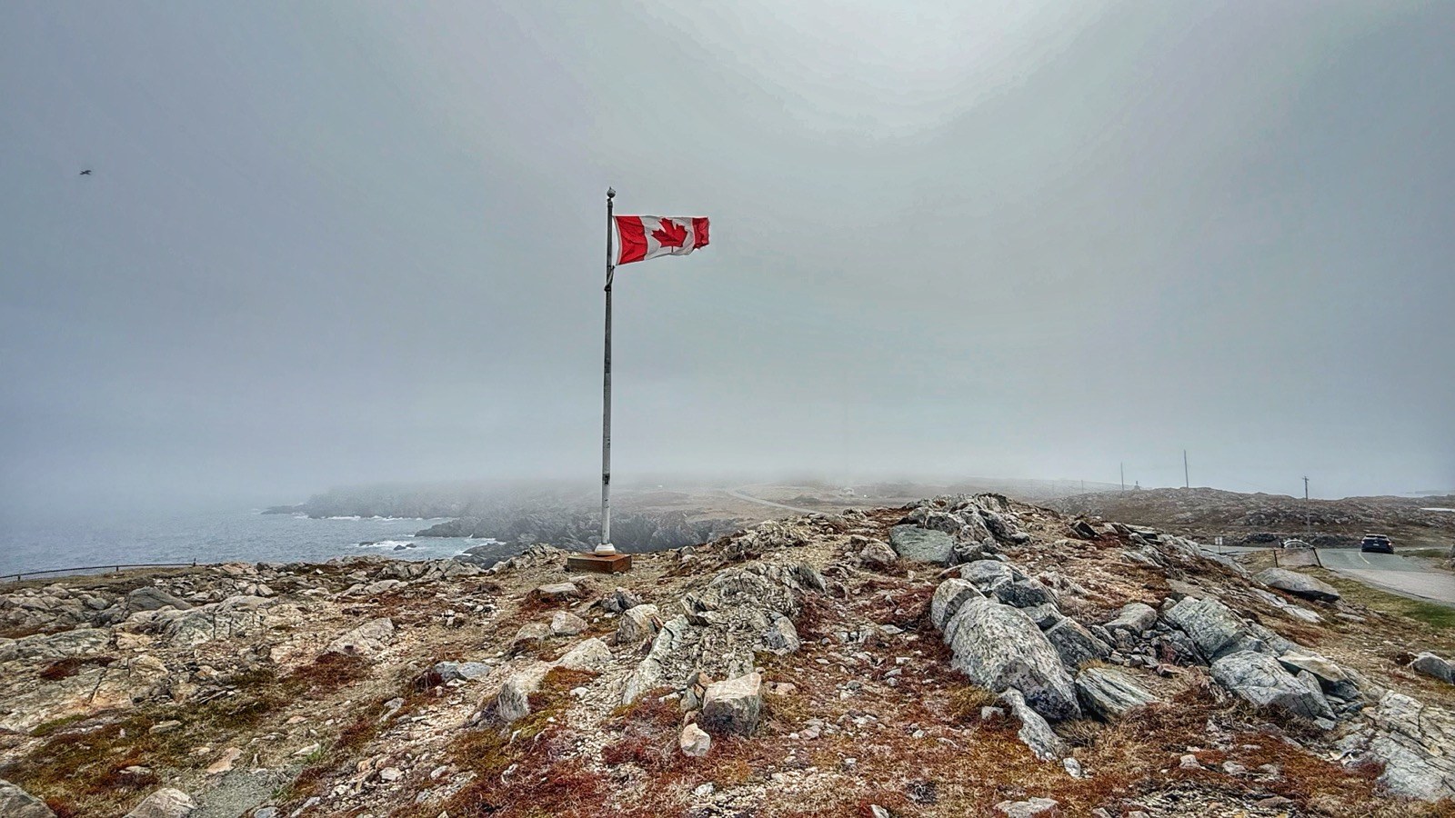
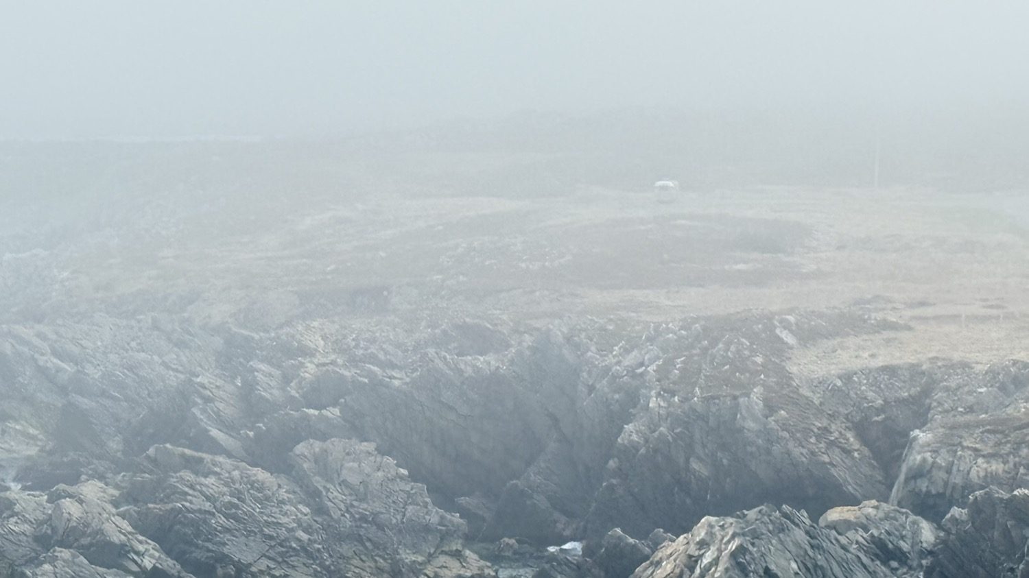
The flag out at the point, fog rolling in off the water. That silver speck to the right of the flag pole, out in the distance, is our rig.
Watching the weather the way Heather and I always do, we saw a storm on its way in. The forecast called for lots of snow and winds over 60 miles an hour out of the southwest. Given how our rig was positioned at the pull-off, that wind would have hit the trailer broadside, and I wasn't comfortable having winds that strong hit us while we were parked on the edge of a cliff.
The next morning we hitched up and headed over to the municipal park, which was now empty and all ours. I positioned the rig into the forecast wind and left everything hitched up, just in case.
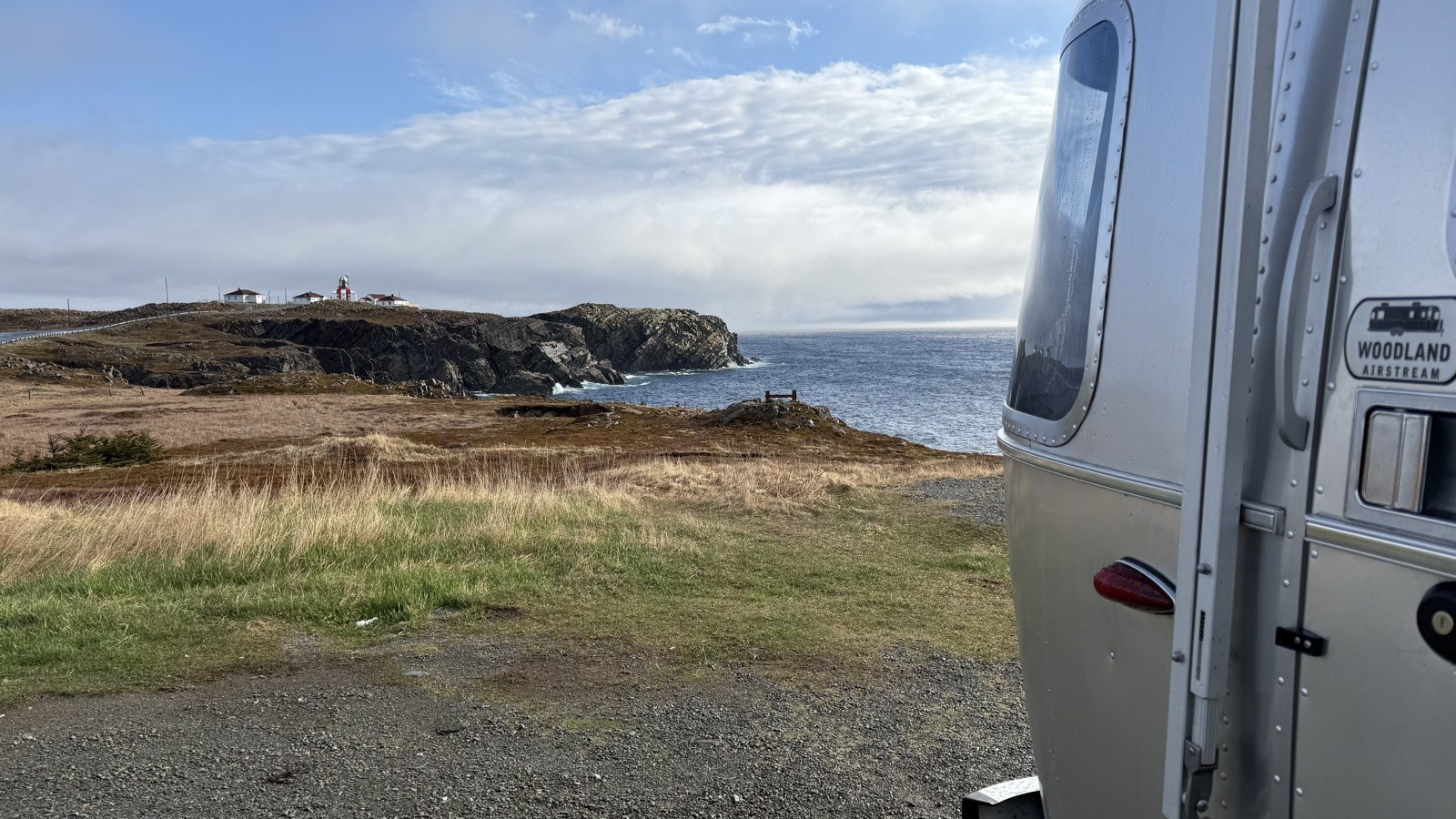
Beautiful weather, the calm before the storm. Right before we moved to the municipal park across the street.
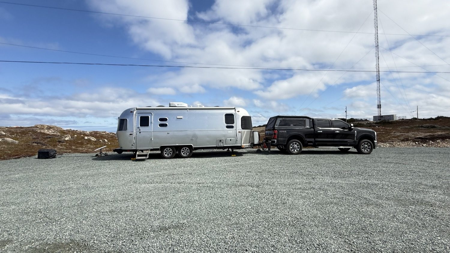
Repositioned at Landfall, hitched up and facing into the wind.
We spent the day sitting, talking, enjoying each other's company, and the warmer-than-expected afternoon weather.
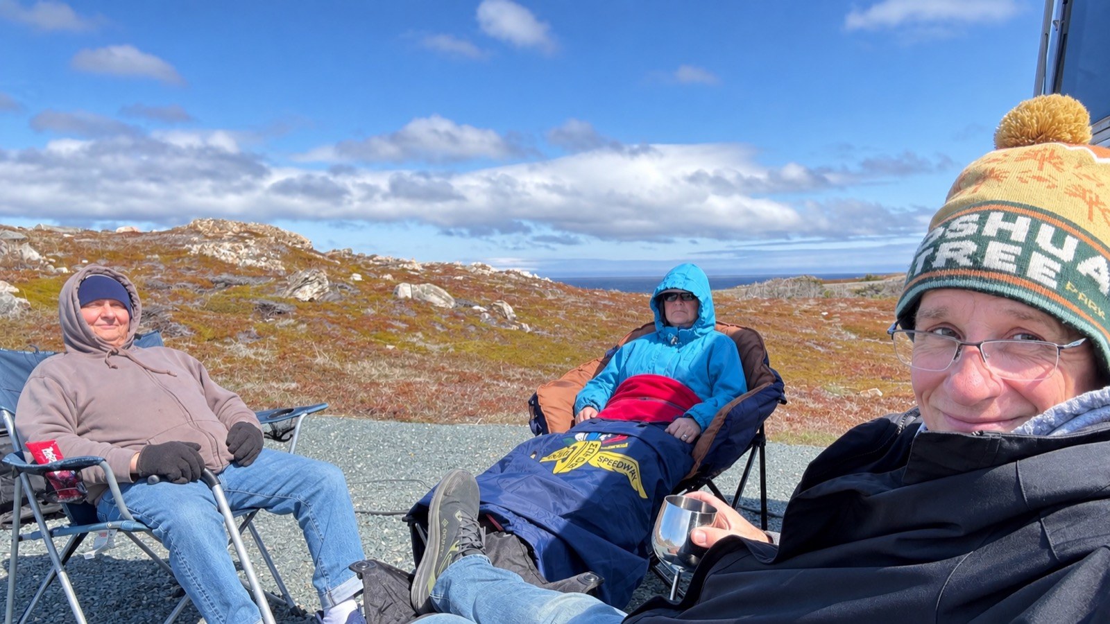
Bundled up, but soaking in the sun while it lasted.
By mid-afternoon the sky had turned dark and the wind had picked up.
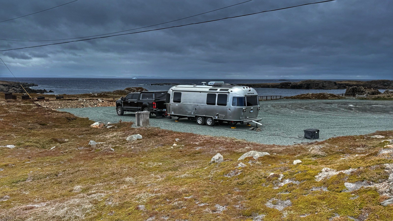
By late afternoon, the sky turned dark, a clear warning of what was coming. That's also an iceberg in the distance.
Heather made a nice dinner while I packed up our chairs and stowed anything loose in the truck.
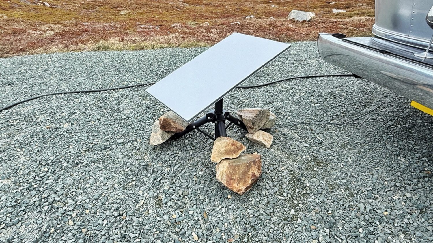
If there's one thing Newfoundland has no shortage of, it's rocks. Turns out they make excellent anchors for a Starlink dish.
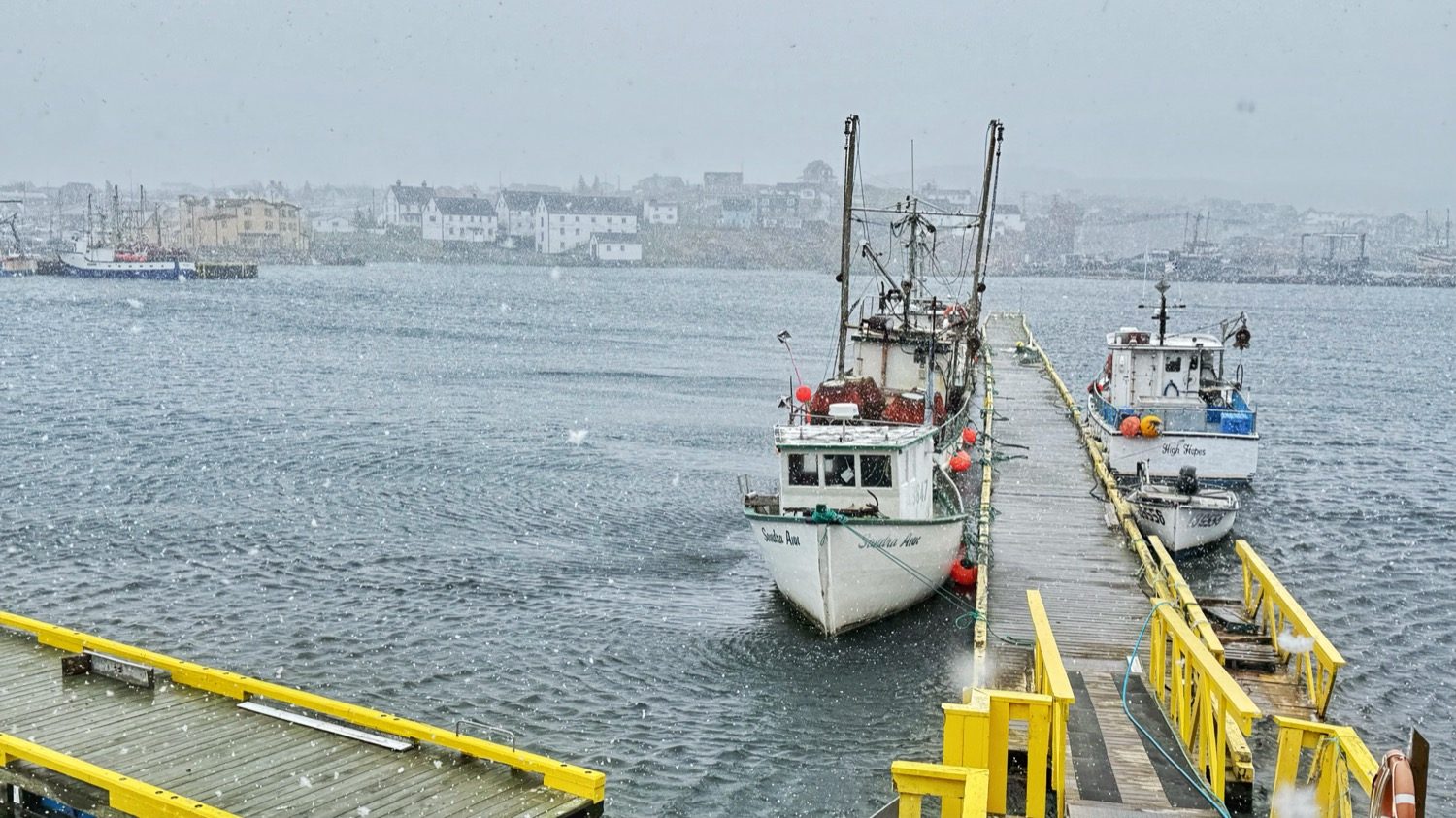
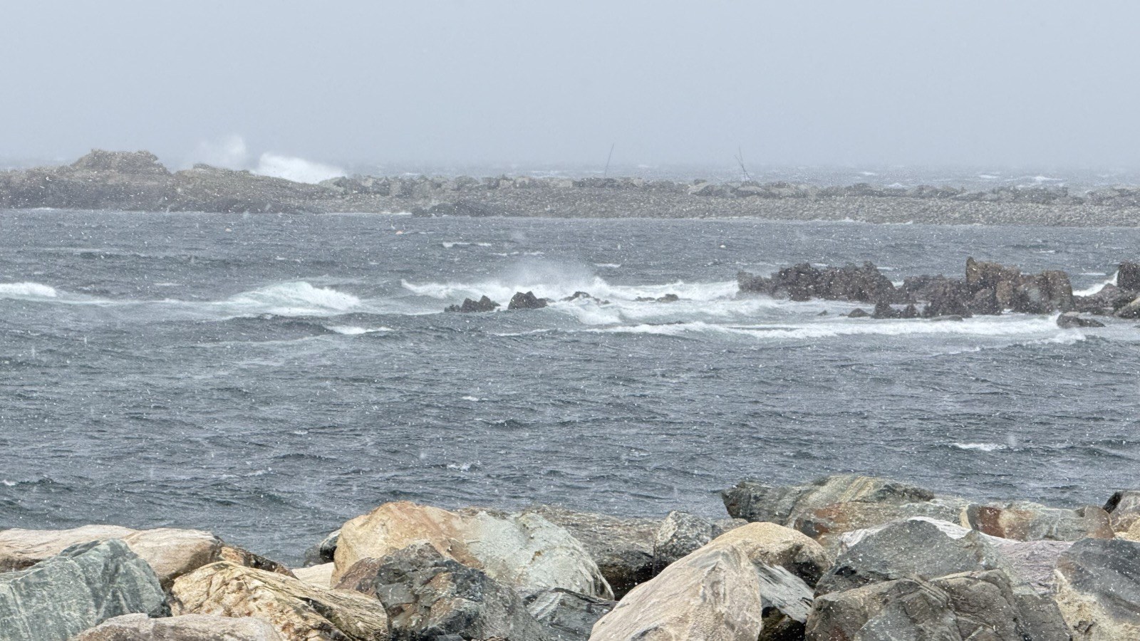
The next morning, we woke up to nearly 70-mile-per-hour winds, horizontal snow, and bitter cold. Despite the conditions, we were warm and comfortable inside. I made myself a cup of coffee, bundled up, and headed outside to finish getting things ready before we got underway.
We needed to do laundry, and a small laundromat turned out to be inside the harbor master's office in Bonavista, worth knowing about if you find yourself in the same spot.
The office belongs to the Harbour Authority of Bonavista, on Roper Street next to the wharf, and it does more than manage the harbor. Along with the laundromat, there's a shower facility for a nominal charge, handy if you've been boondocking and are running low on hot water. The harbor master, Jerry Mouland, is also a talented professional photographer, and he sells high-quality prints of the area right there in the office, including some excellent shots of the puffins, if you'd rather buy one than chase your own.
By mid-morning we were underway. Despite the strong wind, our rig was stable the whole time, and we had no issues towing.
Once the laundry was done, we stopped for lunch at Mary Brown's Chicken and Taters before finally pulling out of Bonavista on our way to St. John's. We'd passed several Mary Brown's already on the trip and never stopped, since we're really not fast food people. I'm so glad we finally did. I love Chick-fil-A, the Lord's Chicken as I commonly call it, and I'll have it every now and then, but Mary Brown's is by far the best fried chicken I've ever had.
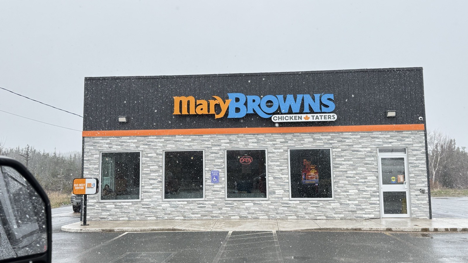
The best fried chicken we've ever had, found on our way out of Bonavista.
Absolutely. Between the cliffside camp, the puffins, and a storm we came out of without a scratch, Bonavista earned its spot on the list.
What worked. Heather spotting the flat pull-off instead of forcing ourselves into a crowded, sloped lot, moving the rig before the storm instead of riding it out where we were, and a hitch and tow setup that never gave us a moment's worry even in nearly 70 mph wind.
What we'd change. We'd love to get Mike out to see the puffins properly. That trail just wasn't built for his scooter, and we ended up taking a second puffin excursion later in the trip to make that happen.
From Bonavista, the road kept going, on toward St. John's.