Highways · Newfoundland · Twillingate
 Written by Dan
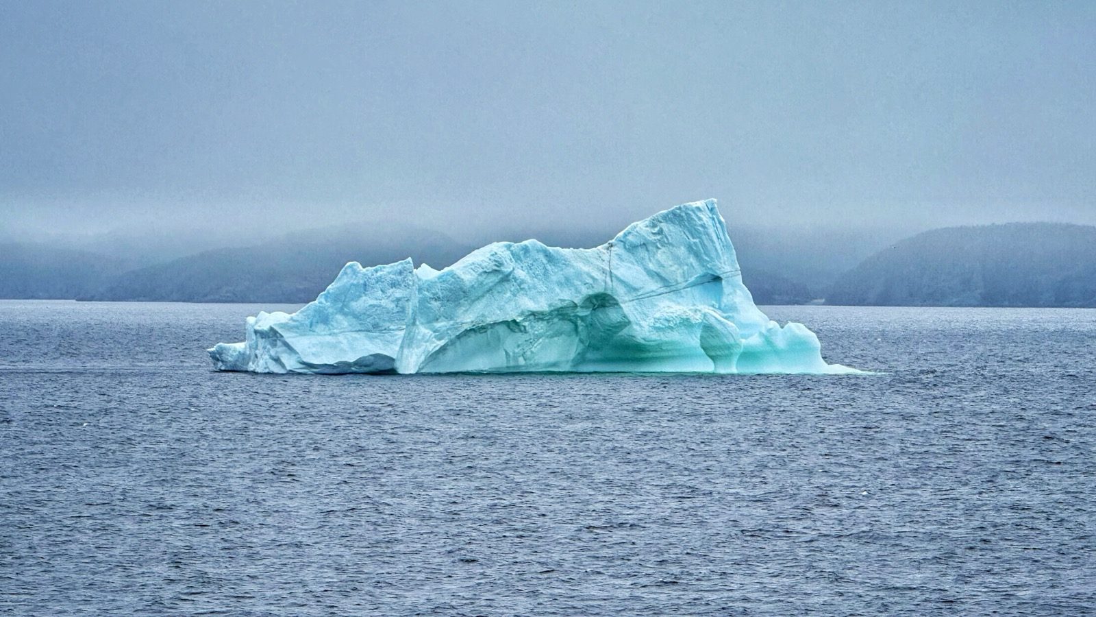
An iceberg drifting through Notre Dame Bay, off Twillingate.
Twillingate calls itself the iceberg capital of the world. We went to see icebergs, and we weren't disappointed. We also spent three days parked on the cliffs at Crow Head, in a quiet park that was empty when we pulled in.
It had been a long day. We started that morning in Cape St. George and finished it on Route 340, the road out to the Twillingate Islands. The drive was pleasant, but Newfoundland's roads aren't always the best. The secondary roads can be the hardest, with potholes, rough pavement, and stretches in poor condition.
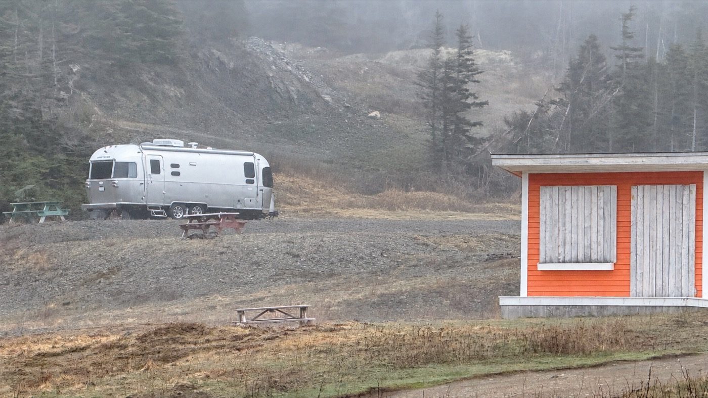
We planned to stay at Sea Breeze Park, a park at Crow Head that offered free camping, and when we rolled onto the gravel, there was nobody else there. No other rigs, no headlights, just cliffs and a wide gray sky. It was very peaceful. We parked above the cove and leveled the trailer. When the engine shut off, the first thing I noticed was the waves.
Heather started dinner while I explored the area a little. I walked out along the cliffs in the last of the light, with cold air on my face and the smell of salt everywhere. Below me the waves broke on the rocks, steady and heavy. By the time I got back, the smell of dinner was drifting out of the Airstream, which sat silver against the dark hillside. Long Point Lighthouse, which has stood on the point since 1876, is about a third of a mile away.
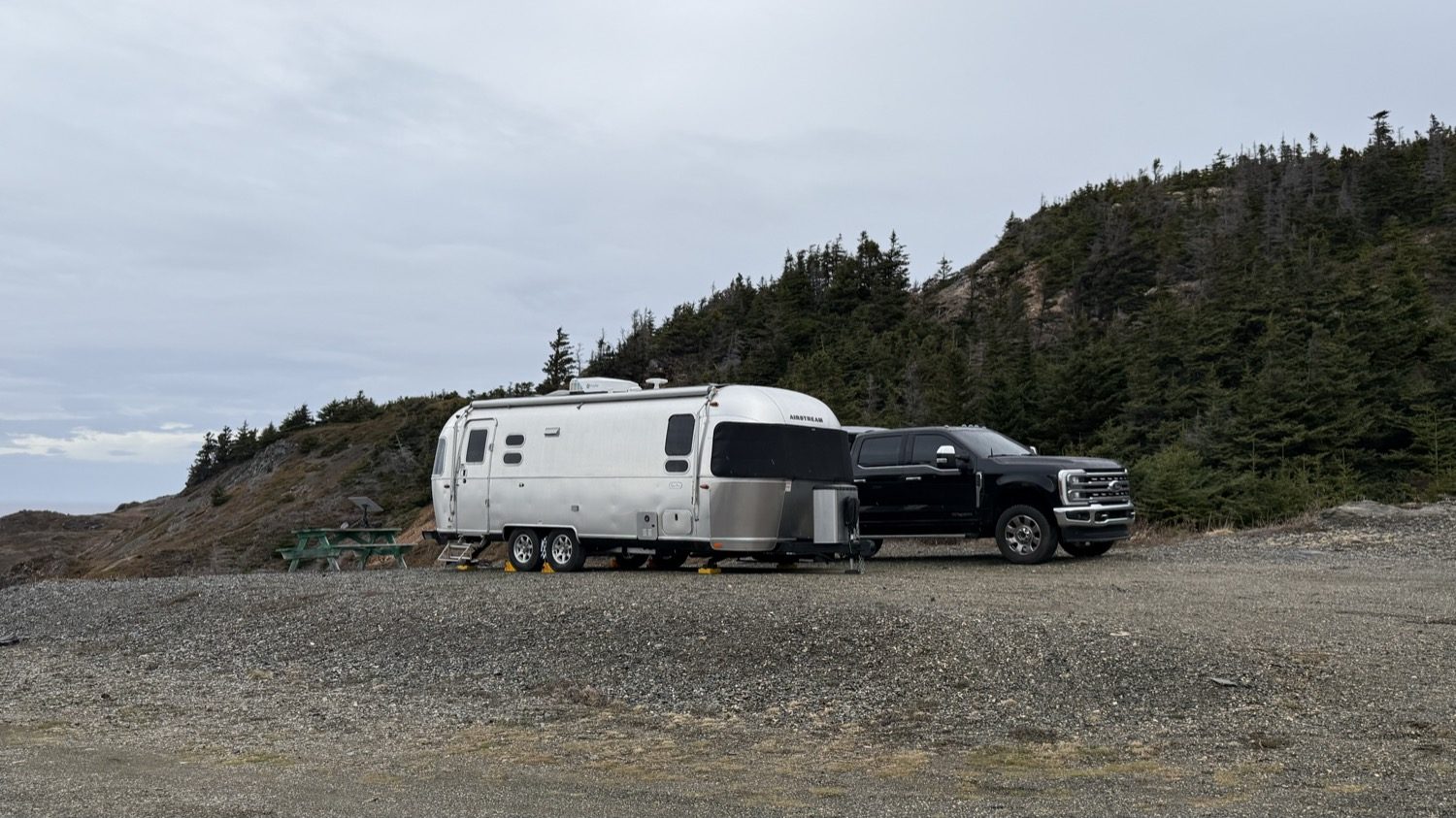
Parked above the cove on the evening of May 7, with no one else around.
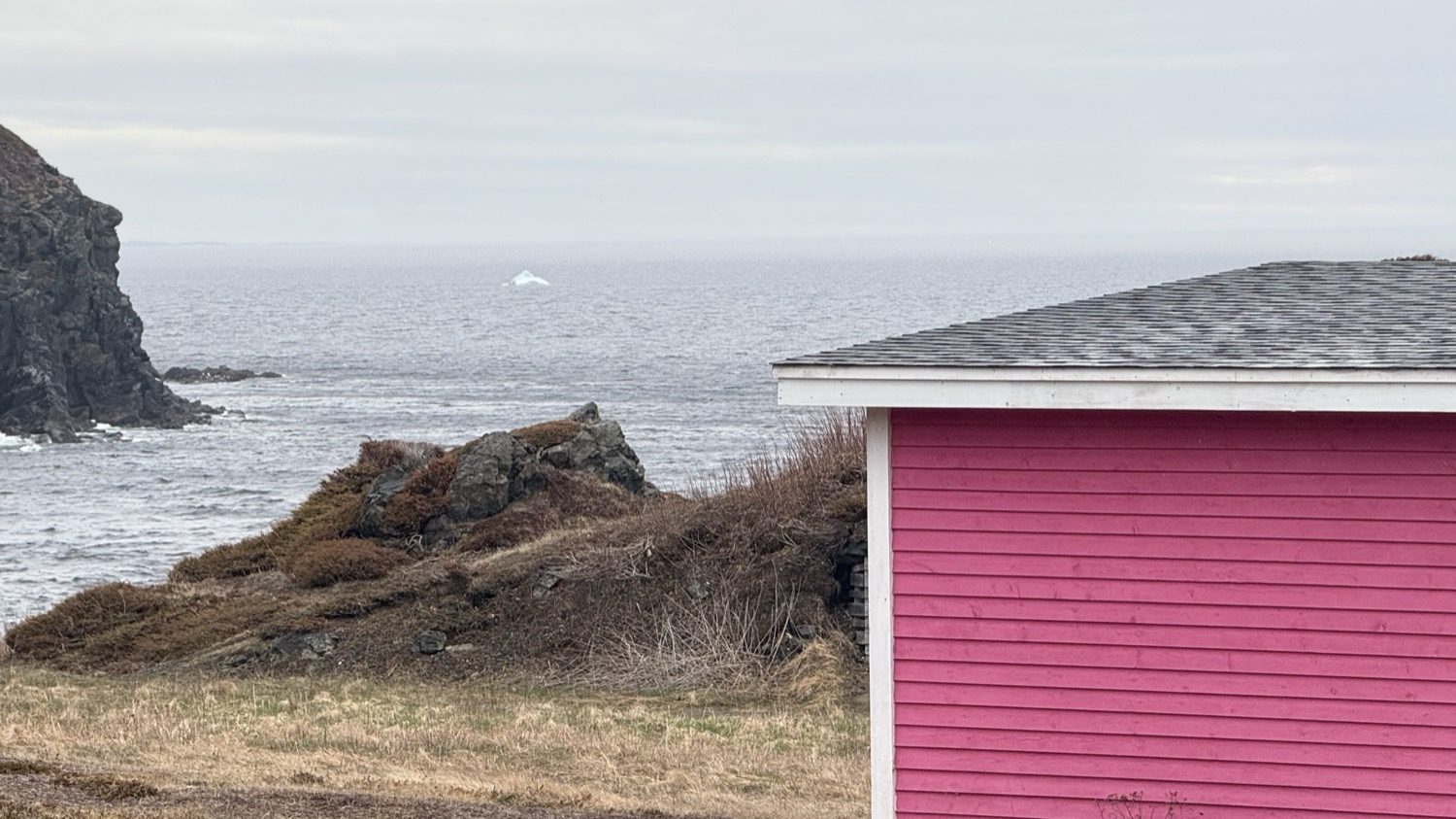
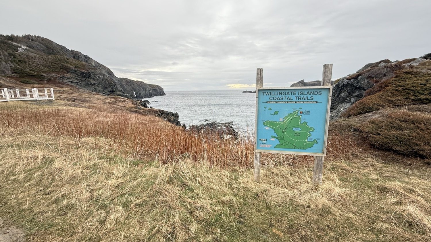
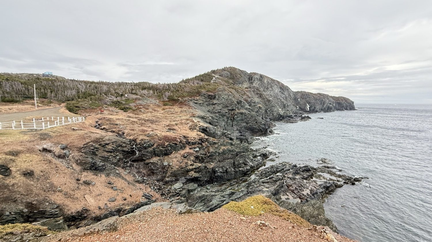
The rocky coast at Crow Head.
It got cold that night, down in the low 30s. When we woke up, the fog was thick and everything was damp: the gravel, the picnic tables, the aluminum skin of the Airstream. The far side of the cove had disappeared. It was very quiet.
I'm an early riser, so I had a chance to explore before Heather and her dad, Mike, were up. I spent about two hours around the cove, walking the cliffs and working my way down toward the water. The fog seemed to soak up every sound except the water moving over the rocks. The air tasted like salt, and the rust-brown grass was soaked through.
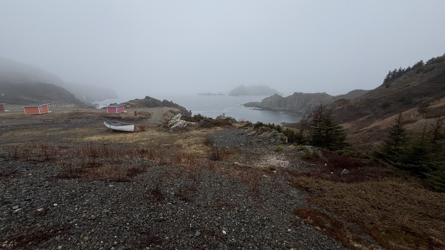
The cove below Sea Breeze Park on the foggy morning of May 8.
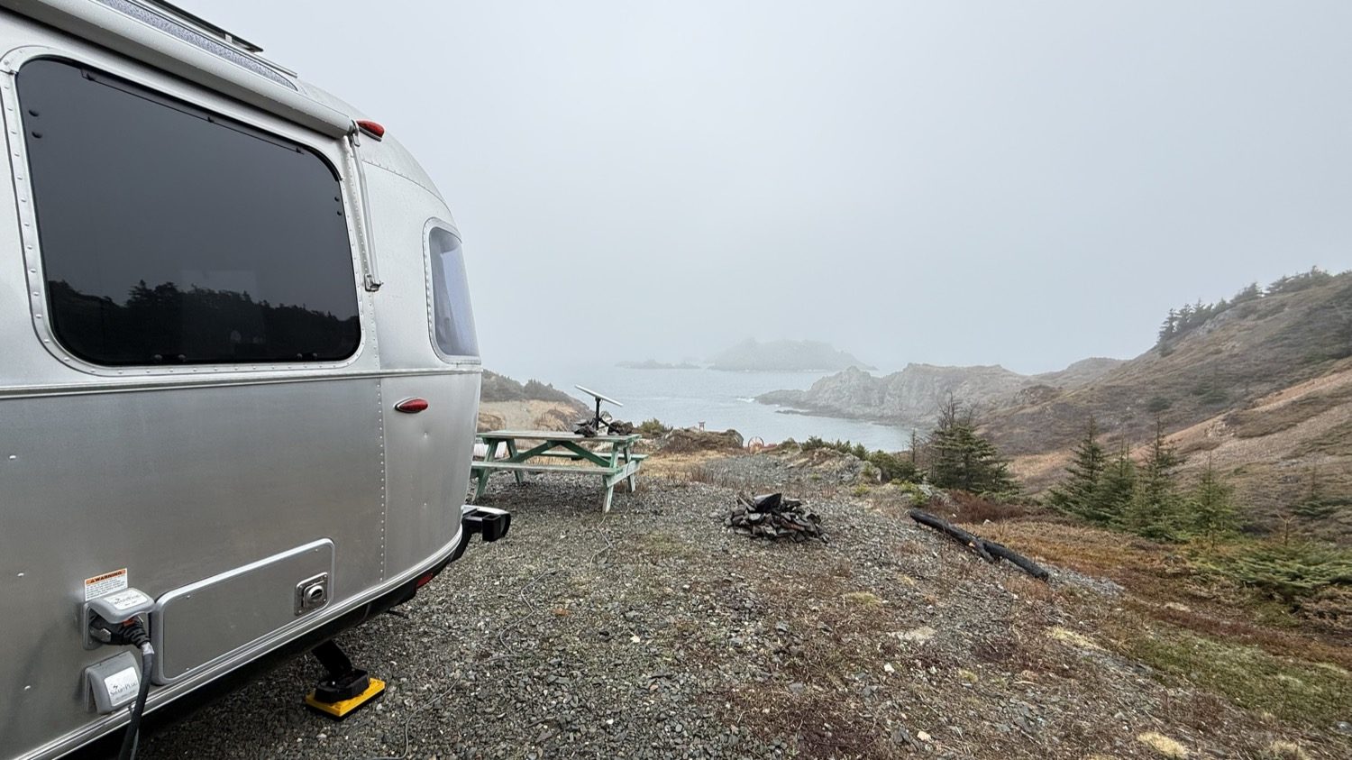
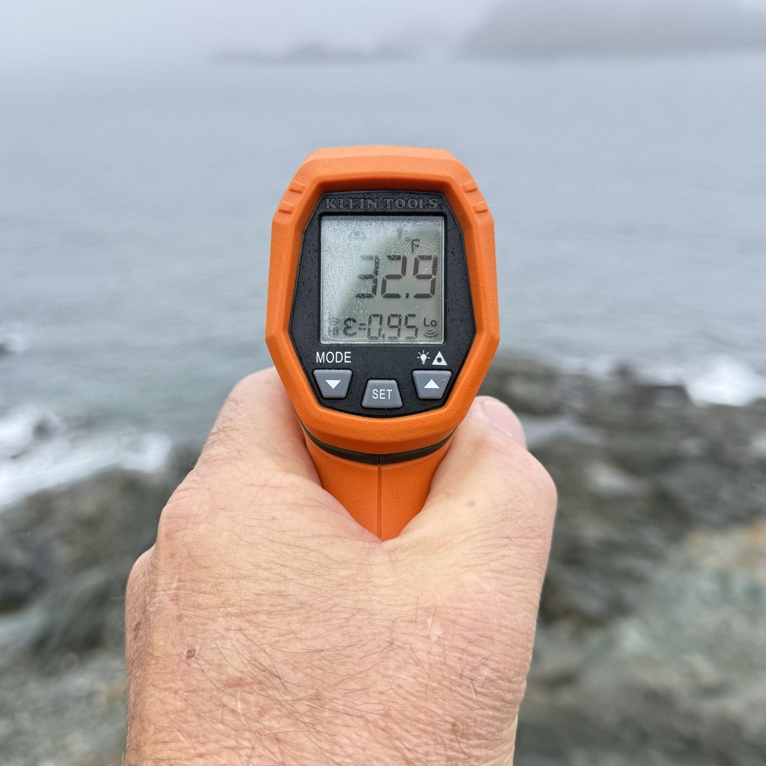
I was curious just how cold the water was, so I took my thermometer down to see for myself. Waves were breaking white against the dark rocks, and by the time I aimed it, mist had beaded on the case. It read 32.9°F, about 0.5°C, less than a degree above the freezing point of fresh water. Somewhere out past the fog, there was ice floating in that water.
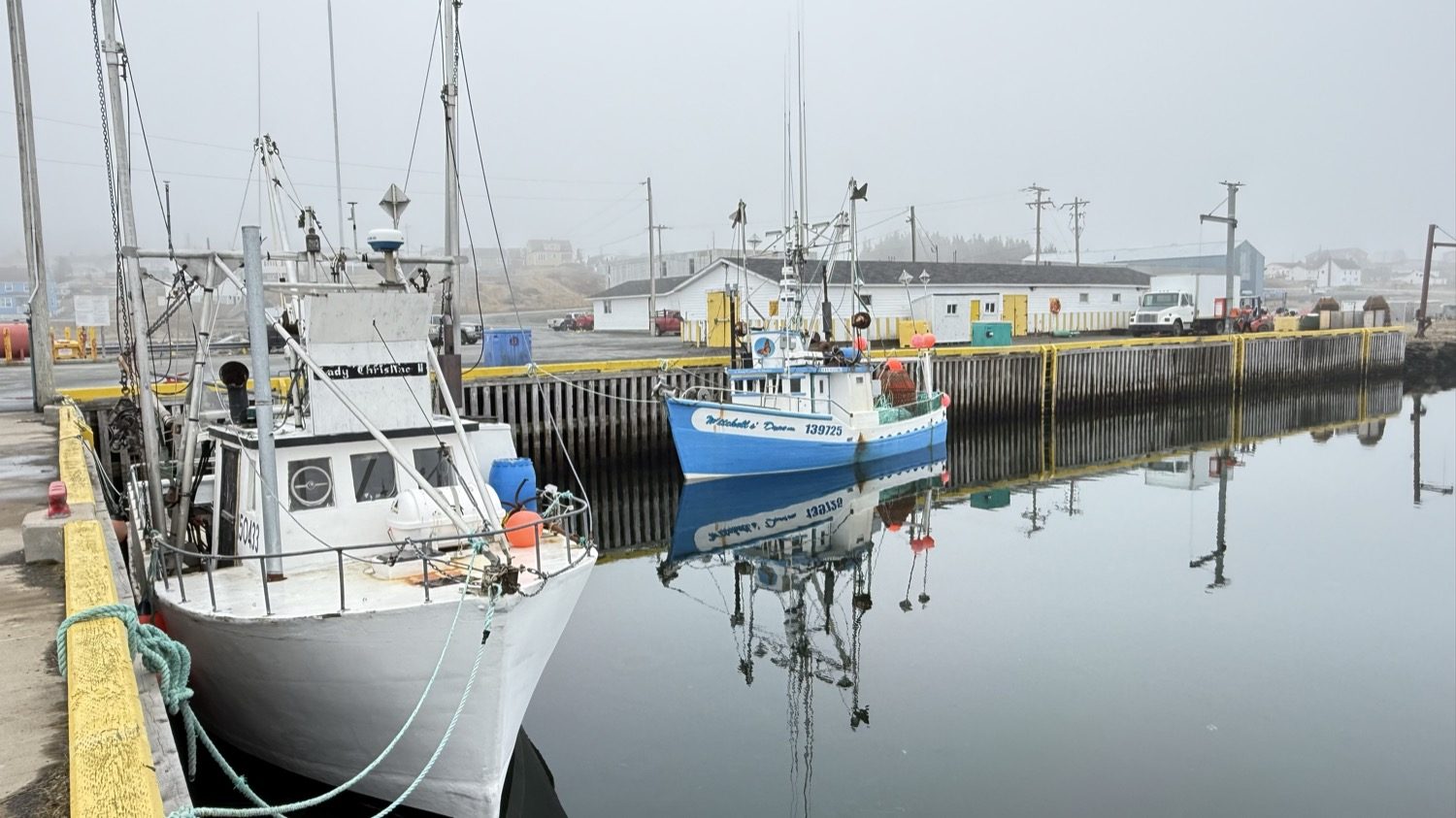
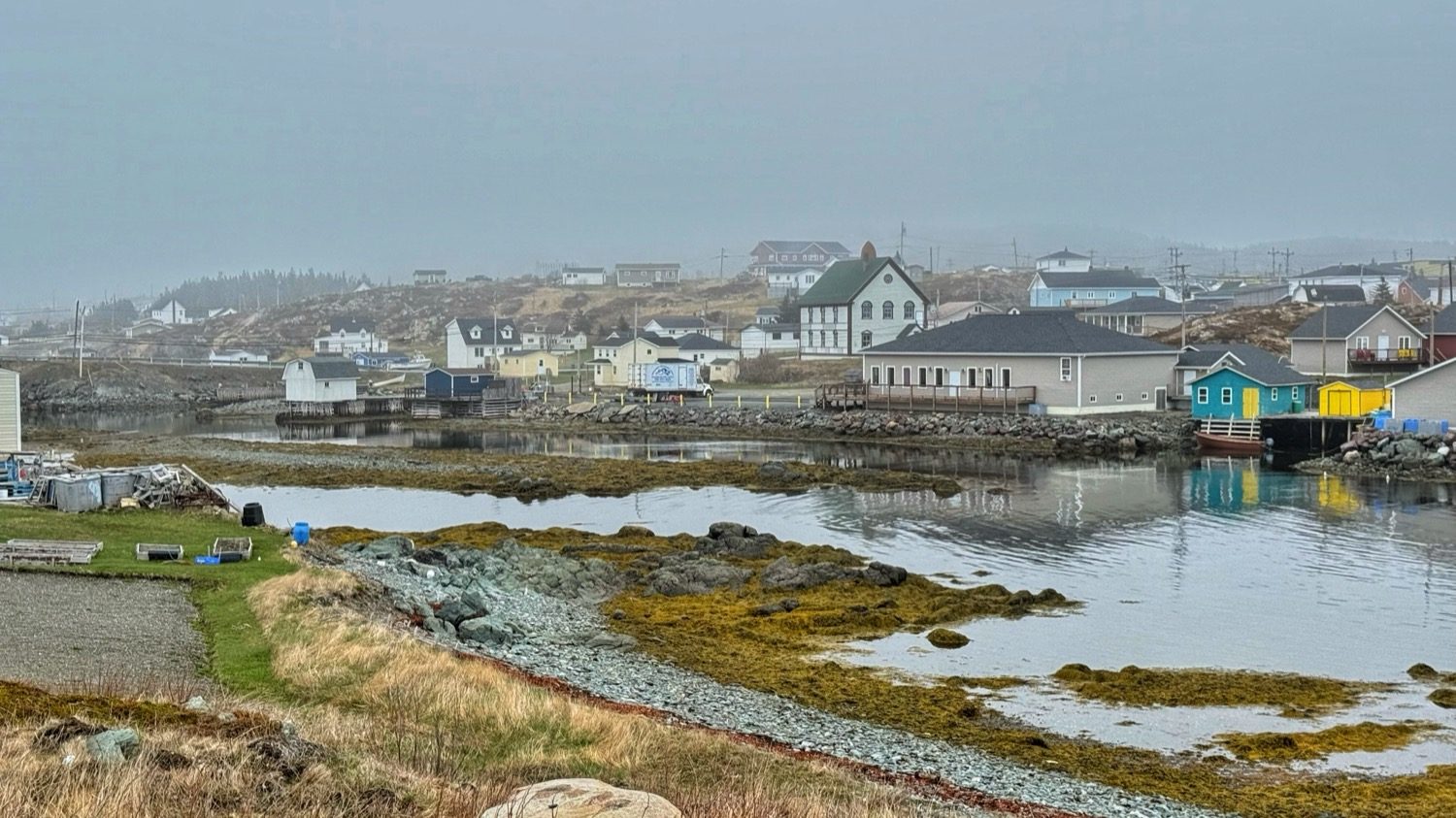
Later that day we drove into town to look around the harbors. We also needed a laundry facility, and we found one at one of the marinas. Inside it was warm and smelled like detergent. While the machines ran, Heather and I went outside to explore the harbor and walk around the fishing boats. The harbor smelled like salt, diesel, and fish. The boats sat in the fog with their blue and white hulls, and the water was so calm that every hull had a perfect reflection.
The town was quiet and peaceful. It was mostly empty, with just the locals and only a few of us brave RVers. People have been fishing out of these harbors for more than 300 years. English families began settling the islands around 1700, and in the 1800s Twillingate became one of Newfoundland's biggest fishing centers.
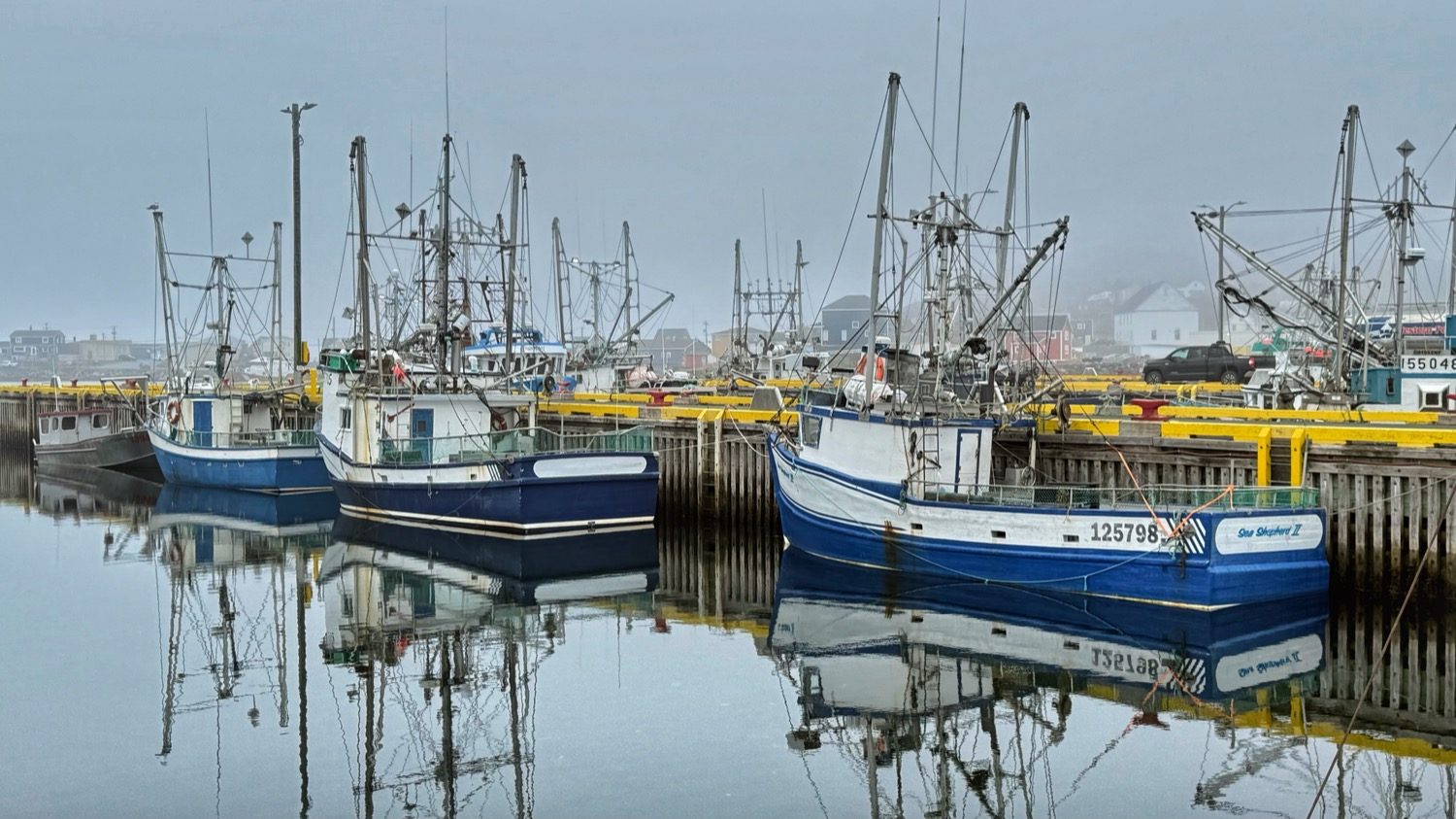
Fishing boats at the dock, mirrored in the calm water.
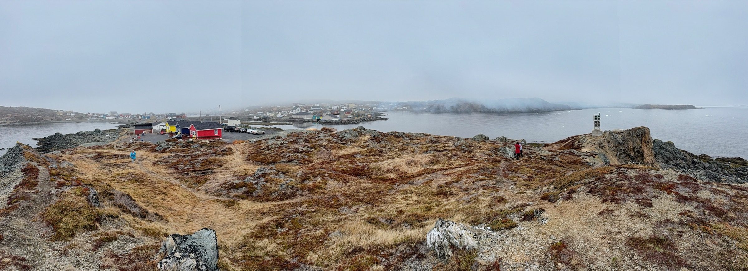
A wide look across the water from the rocks above Back Harbour.
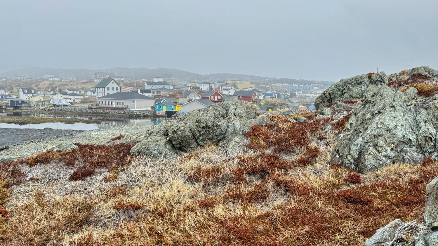
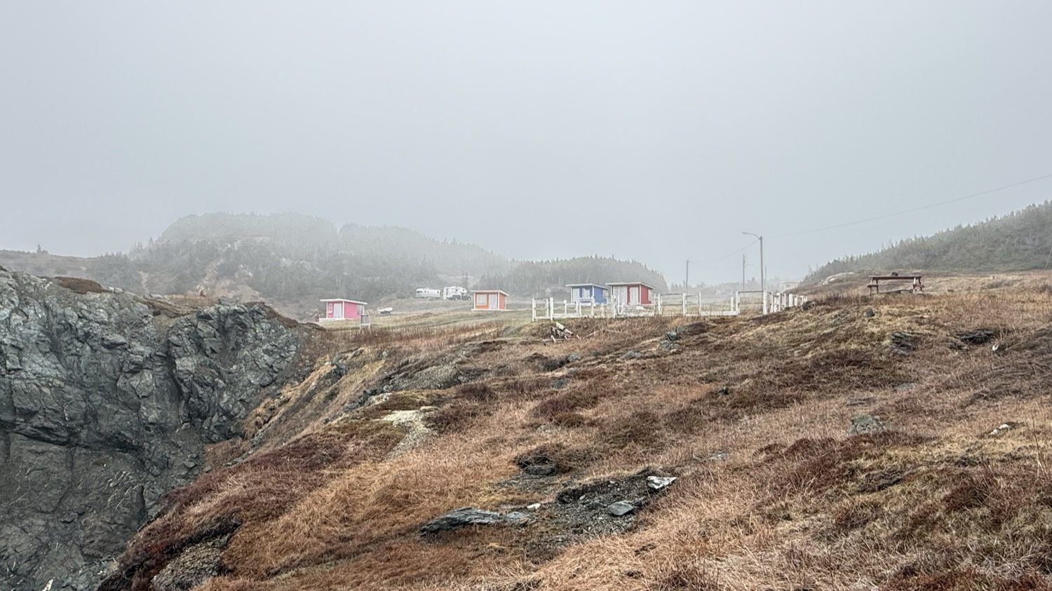
That afternoon, while we were still exploring town, we saw what we had come for: an iceberg floating in the bay beyond Back Harbour. It was pale blue on top, with a green glow where the ice met the water, and the fog blurred the hills behind it until it looked like the only solid thing in the bay. It's the one at the top of this page. The evening before, I had photographed a tiny one far out on the horizon, past a pink shed. This one was close enough to see the color.
On May 9, we packed up and headed out along Route 340. Where the road ran out along a causeway, another iceberg had run aground right next to the shore, just past the guardrail. We pulled over for photos. Up close it was a cluster of tall, blue-white blocks, and the air off the water smelled cold and clean.
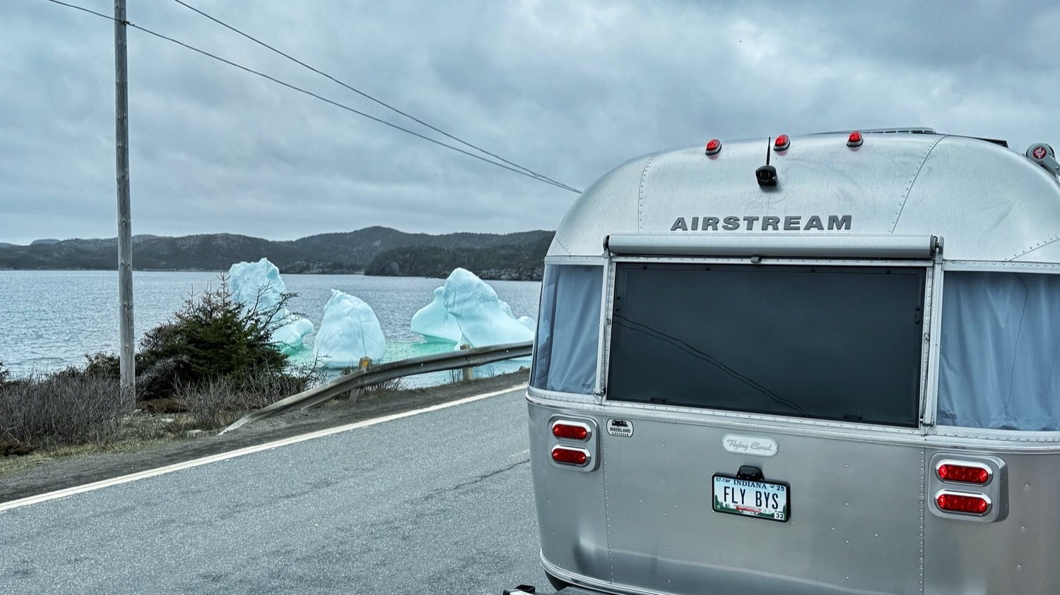
The Airstream pulled over beside Route 340, with a grounded iceberg just beyond the guardrail.
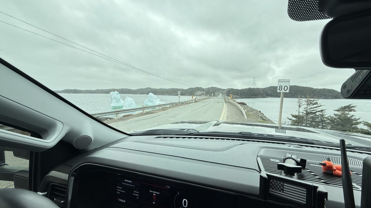
The same iceberg through the windshield, with the road running out along a causeway.
Twillingate is a small coastal town of about 2,100 people, spread across the Twillingate Islands in Notre Dame Bay on Newfoundland's northeastern coast. It is one of those places that immediately feels tied to the sea. Fishing boats fill the harbors, weathered homes line the shoreline, and narrow roads wind through rocky hills above the cold North Atlantic. For generations, life here has been shaped by fishing, changing weather, and the isolation that comes with living on an island off an island.
The history goes back a long way, and most of it has to do with fish. Here's the short version.
Today Twillingate is also known for its dramatic coastline, hiking trails, historic fishing culture, and the icebergs that drift past the shore during spring and early summer. Whales are common visitors as well. Fog may cover the hills in the morning, then clear to reveal steep cliffs, sheltered coves, and open ocean stretching to the horizon. It is the kind of place where you can spend the day exploring coastal trails and small fishing villages, then park near the water in the evening and watch the weather roll across Notre Dame Bay.
History from The Canadian Encyclopedia, the Twillingate Museum, Parks Canada and Wikipedia. Population (2,121 in 2021) from Statistics Canada.
Absolutely. In early May the town was quiet and peaceful, mostly empty except for the locals and a few of us brave RVers. Next time we'll come later in the season, when more of the town is open. But we would definitely go back.