Highways · Newfoundland · Cape St. George
 Written by Dan
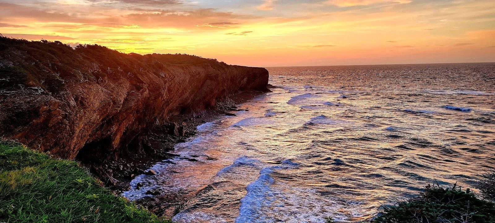
Sunset over the cliffs at Boutte du Cap Park.
After a restful night in Wreckhouse, we pulled out the next morning and pointed the truck toward the far tip of the Port au Port Peninsula. Our stop for the night was Boutte du Cap Park, a free, primitive campground perched right on the cliffs at Cape St. George.
It's 126 miles from Wreckhouse to Boutte du Cap Park, about 2 hours and 50 minutes. The drive runs longer than the mileage suggests, mostly because of slow going once you're on Route 460. From the Wreckhouse rest area, you head north on the Trans-Canada Highway, then take Route 490 toward Stephenville, where you pick up Route 460, the Port au Port Highway. Route 460 runs all the way out to the western tip of the peninsula and Boutte du Cap Park.
Leaving Wreckhouse, keep the area's famous wind in mind. Once you're on the peninsula, the final leg along Route 460 is scenic but comes with its own coastal winds, sharp curves and rolling hills. Checking the wind before rolling out is second nature for Heather; old dispatcher habits die hard. We'd recommend making this drive in daylight so you can see the terrain coming.
Once we were off the TCH, Route 460 was mostly decent, but being a secondary road, it was slow going. The pavement was pretty rough in places, so we took our time. The road is narrow and winding, but very scenic, hugging the coastline with spectacular views the whole way.
Partway along, the road narrows even further to cross a stretch called the Gravels, a steep, narrow run through what looks like an old gravel quarry. It looks more intimidating than it is; there's no real danger, just take it slow and easy like the rest of the drive. Geographically, it's the narrowest point on the whole peninsula, an isthmus only about a third of a mile wide with water on both sides.
Later on, at Terra Nova National Park, we met a couple towing their trailer who'd tried to make it out to Cape St. George and turned back. The road conditions made them nervous. We get it, the drive can look intimidating, but as long as you take it slow and easy, you should be fine. Their rig was a bit larger than ours, and in our opinion, the road is manageable for most rigs.
Cape St. George is a headland, and the community that shares its name, at the southwestern tip of the Port au Port Peninsula. The headland marks the northwestern limit of St. George's Bay. Locally it's known as Kwesowaak, which means "end of the land," and in French it's sometimes called Cap Saint-Georges. Along with the main townsite, the community's boundaries take in Petit Jardin, Grand Jardin, De Grau, Red Brook, Loretto and Marches Point. Boutte du Cap Park sits inside those boundaries too. As of the 2021 census, 809 people lived here.
This corner of Newfoundland is Franco-Newfoundlander and Mi'kmaq country, and it doesn't take long to notice. Basque and French fishermen worked these waters as early as the 1500s and 1600s, and Mi'kmaq families arrived alongside the French. Acadian settlers followed from Cape Breton in the late 1700s, and local history credits a French sailor named Guillaume Robin as the first to settle at Cape St. George itself. France kept fishing rights to this coast, known as the French Shore, until giving them up in 1904, and the Port au Port Peninsula has been Newfoundland's only officially bilingual district since 1971. It's still home to the highest share of French speakers on the island. Une Longue Véillée, a festival celebrating that French heritage, has run here since 1979.
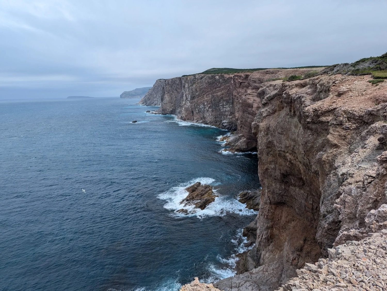
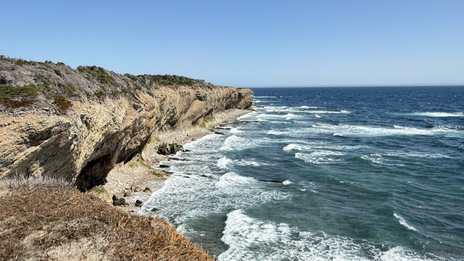
The cliffs along Cape St. George, looking back toward the point.
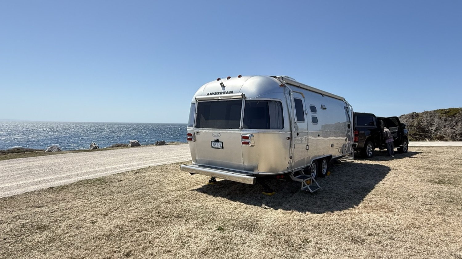
We arrived in the mid-afternoon and started looking for a place to set up. Boutte du Cap Park has a primitive campground with no services, but the sites there are tucked in among the brush and didn't offer much of a view. After some consideration, we opted to set up instead in a grassy area right on the main circle. It gave us a panoramic, unobstructed view of the ocean.
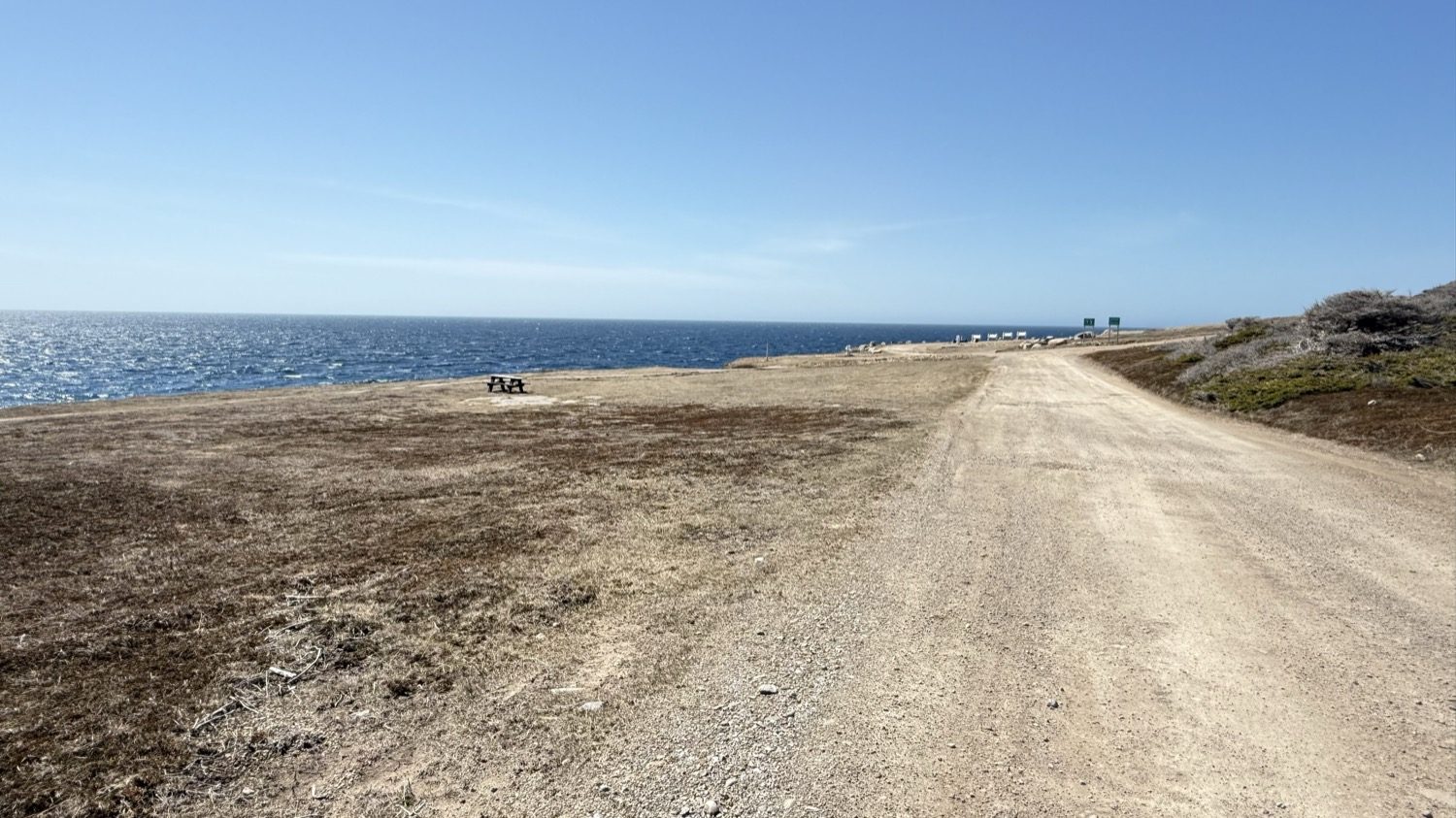
The gravel road out to the point.
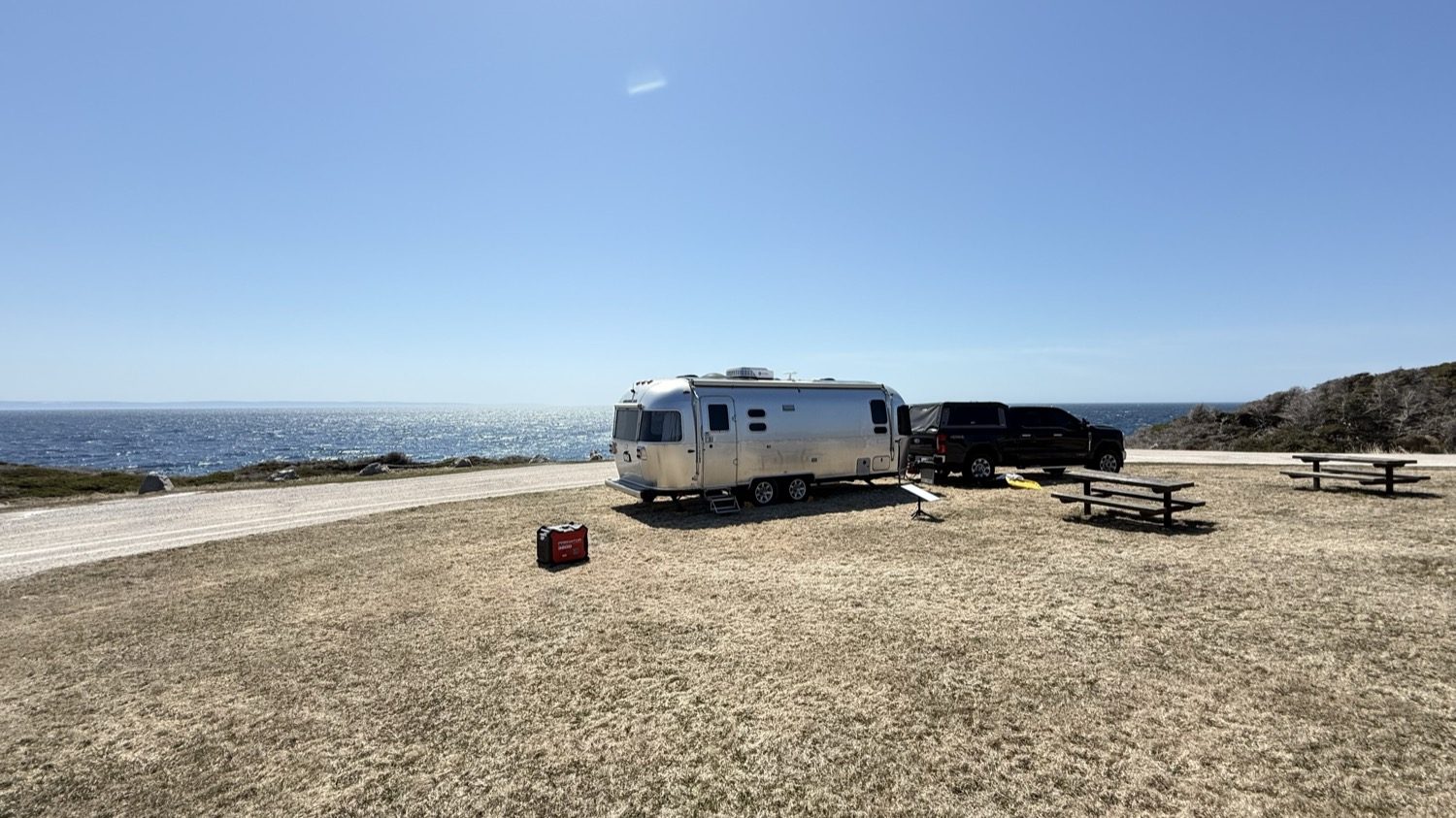
Set up on the grass circle, with nothing but the ocean past the picnic tables.
It was early in the season, and the park was empty except for the occasional local out for a walk, most likely to see who we were. We were only planning on one night, but it turned into a wonderful day. There was a strong, chilly breeze off the ocean, so we set up our chairs behind the trailer, which blocked the wind, and had a great view of the water anyway. We sat for most of the day and just enjoyed the views and the quiet.
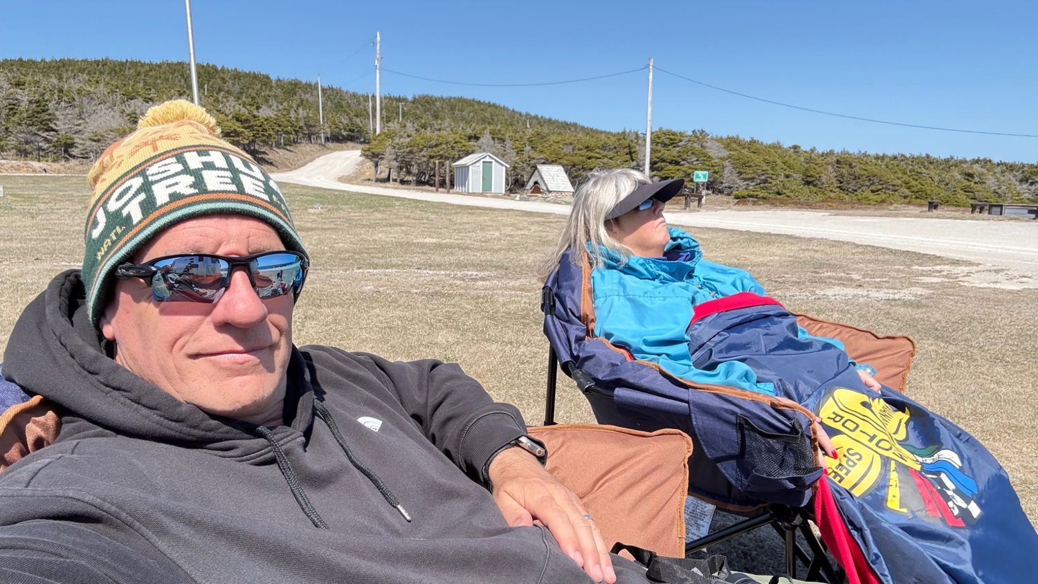
Out of the wind and in no hurry to go anywhere.
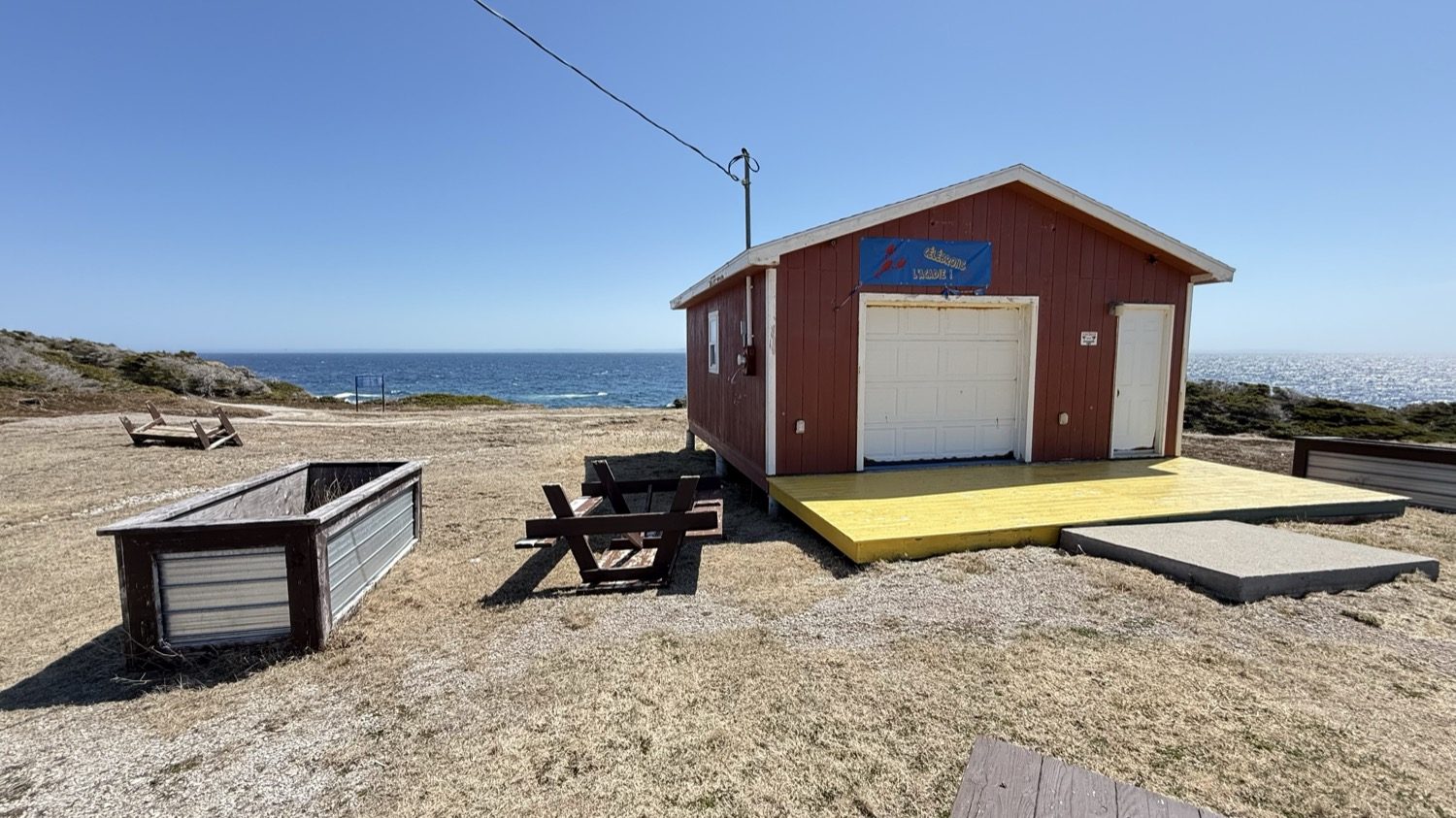
Boutte du Cap Park packs a lot into a small headland. There's a traditional French bread oven, a Four à Pain, where the community bakes fresh bread for visitors between July and August. There's also the only Acadian monument in Newfoundland: a brass map showing the deportation routes out of Acadia in red and the places Acadians eventually resettled in blue, most notably Louisiana, where they became today's Cajuns, with a replica of the Grand-Pré deportation cross set above it.
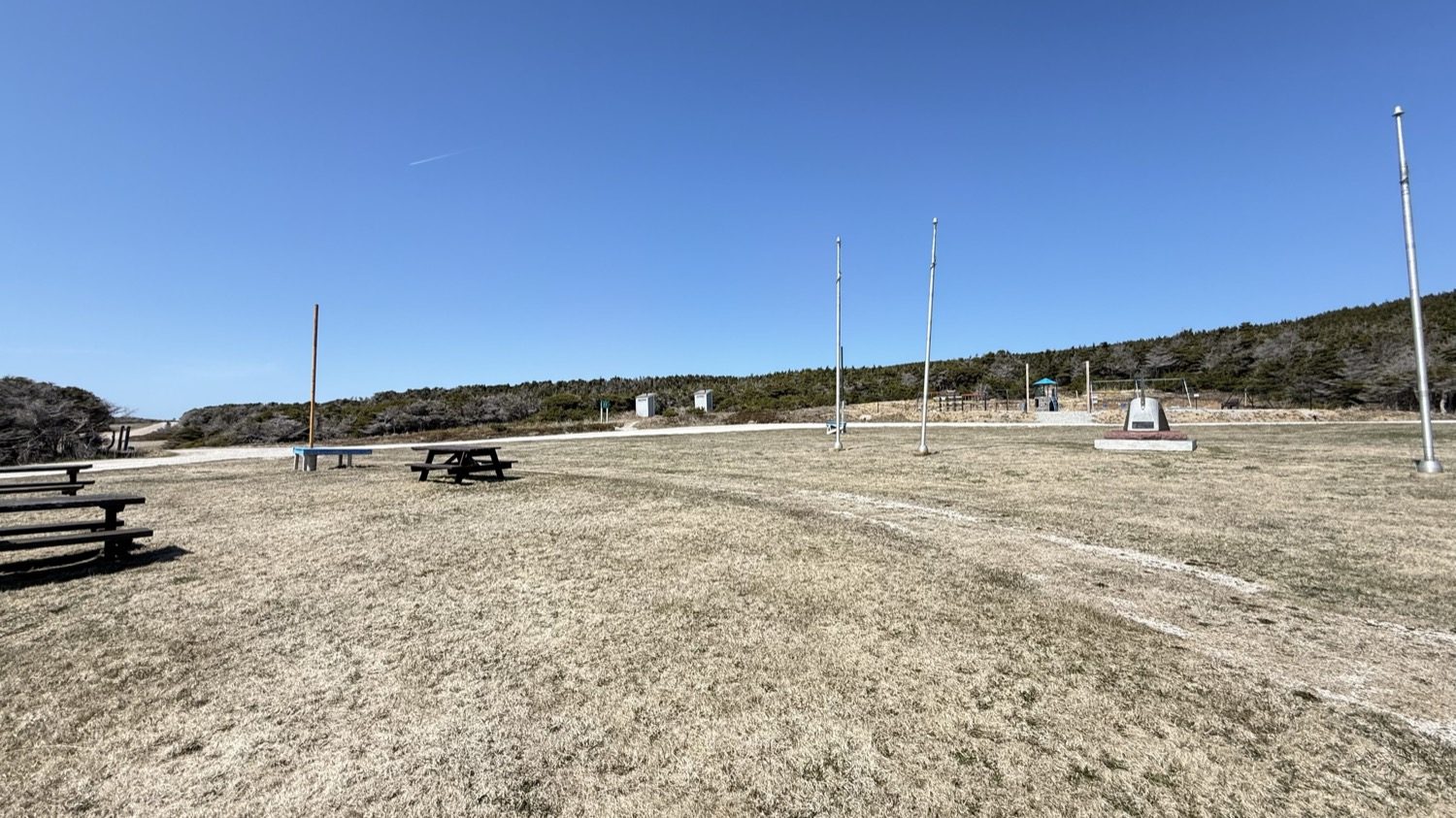
The grounds where the monument and flagpoles stand, with the tree line behind.
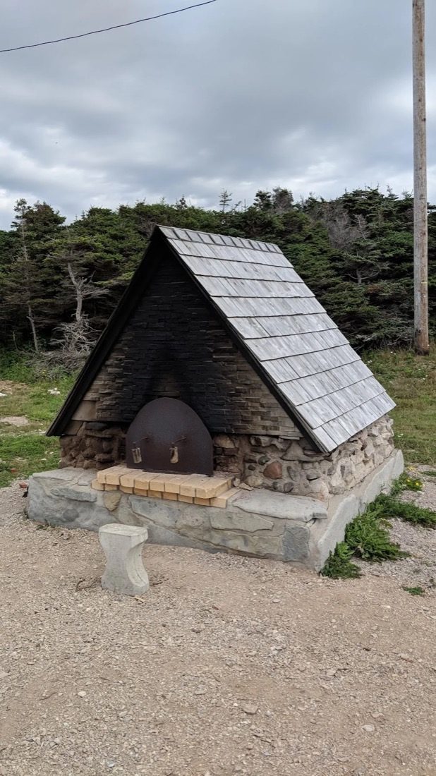
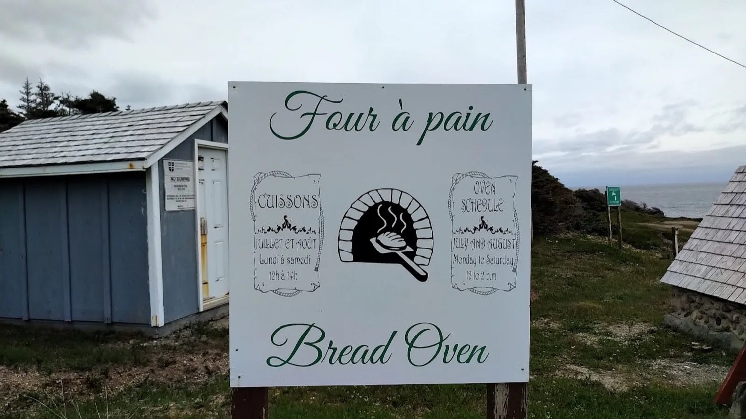
We spent a few hours exploring the area and hiking along the coastline. A path called the Bread Crumb Trail starts behind the oven and is an easy walk out to the first overlooks. From there, two steeper trails continue on to separate kittiwake colonies, one of them said to be the largest in western Newfoundland, with a real climb on the upper one. We didn't take those two this trip, and stuck to the Bread Crumb Trail and the cliffs near it. The park is also known for whale and dolphin sightings offshore, along with gannets, cormorants and black guillemots among the seabirds. The coastline itself is rugged, and the steep cliffs don't offer any access down to the water. More on just how carefully you need to treat that coastline below.
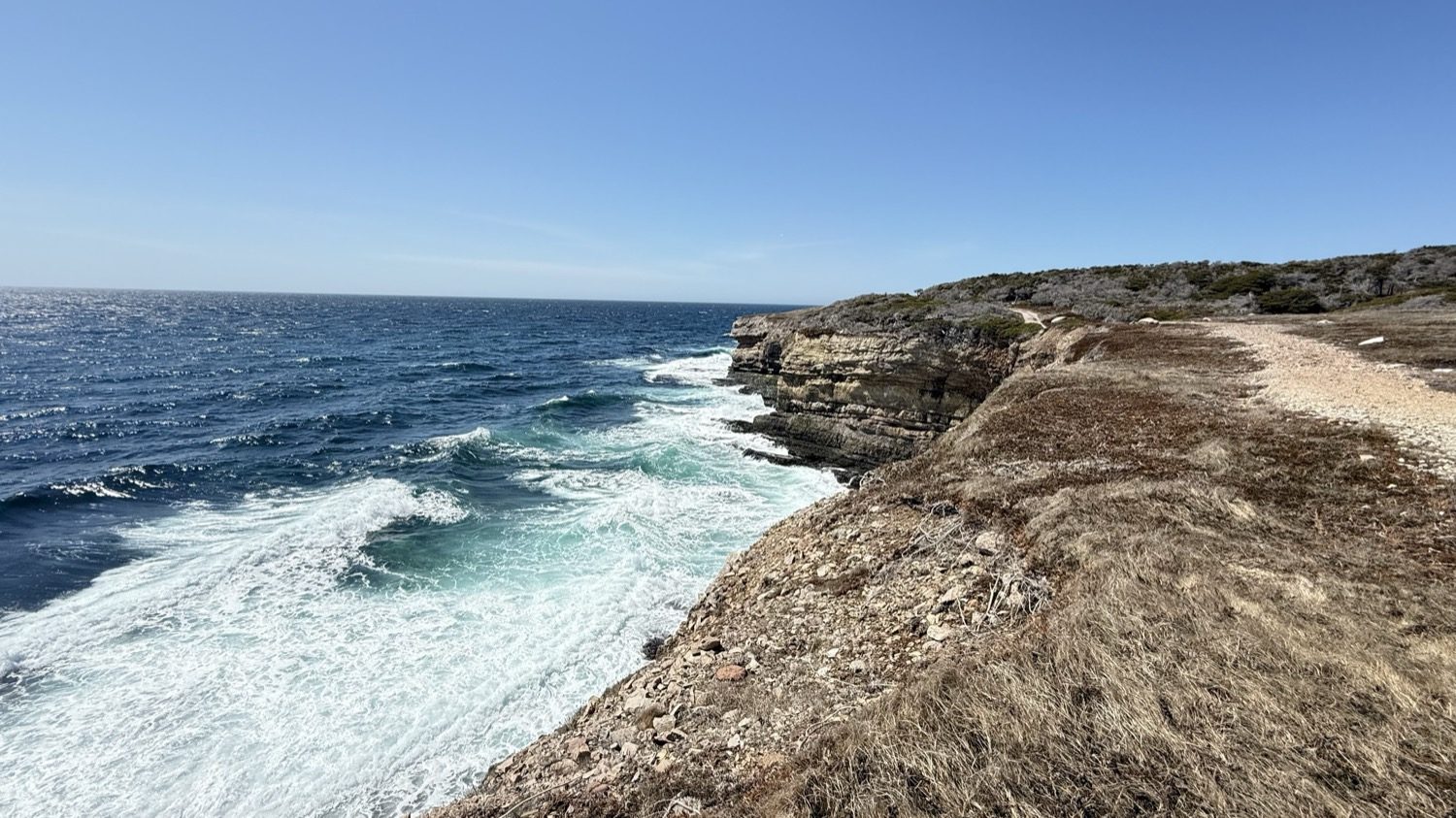
The trail runs right along the edge, with nothing between it and the drop.
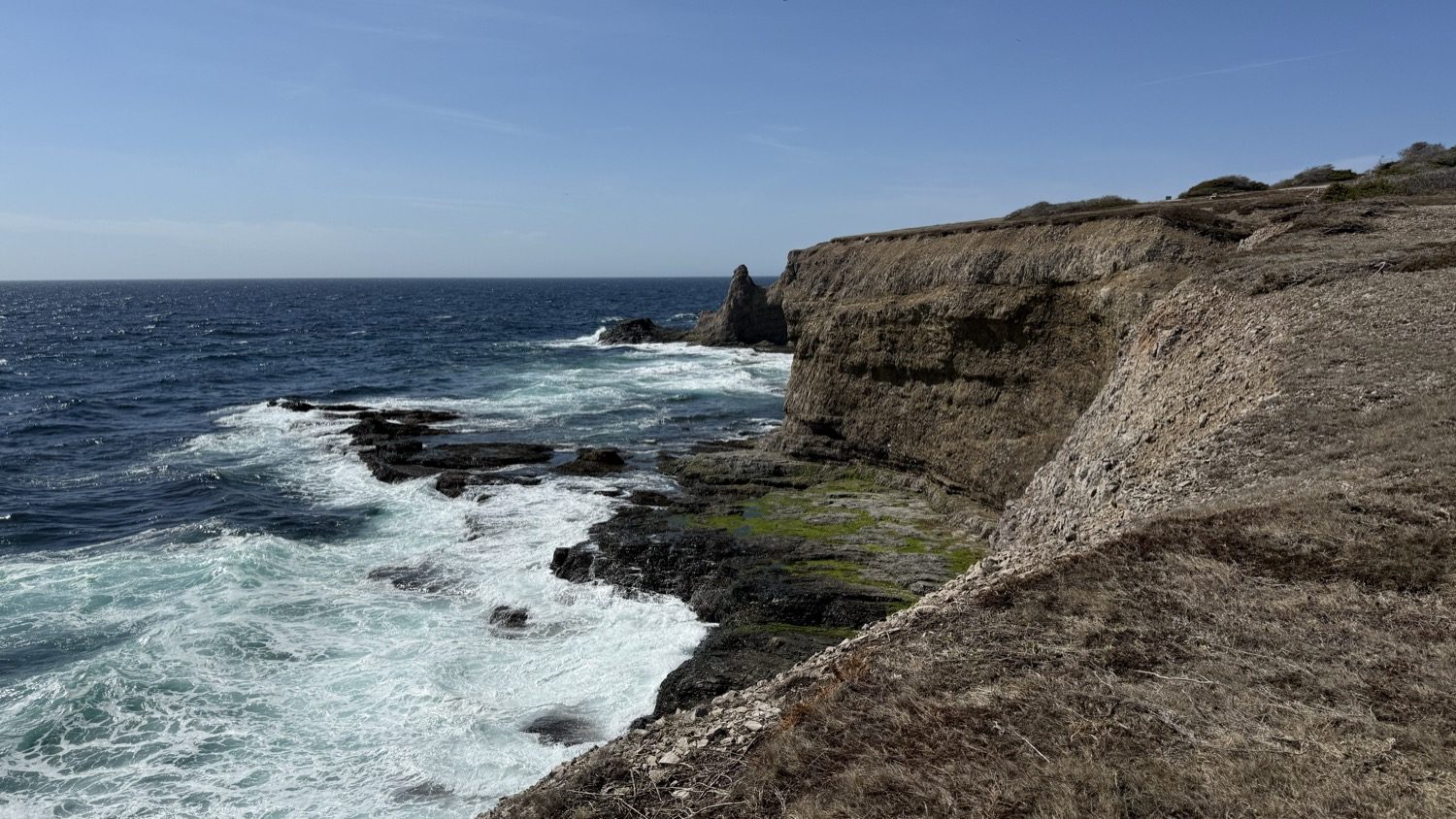
One formation nearby has its own name: locals call it the Boot, and it's one of Boutte du Cap's best-known landmarks.
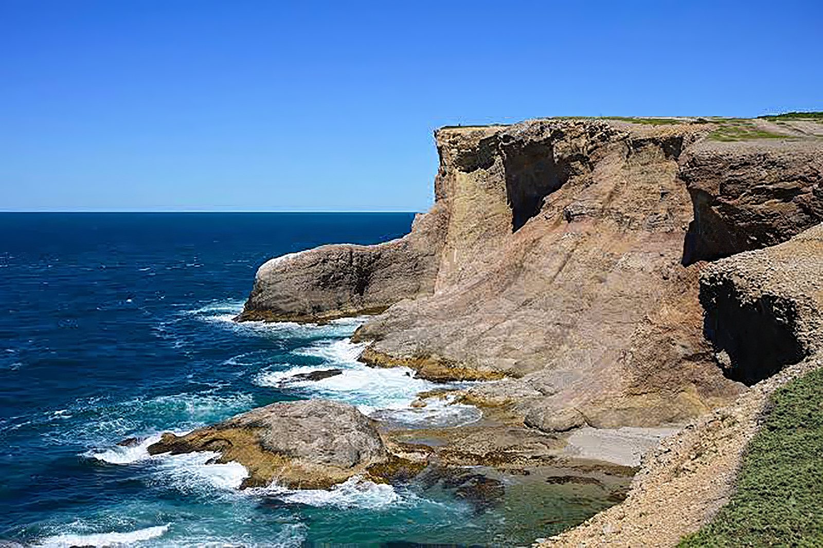
The Boot.
We want to be direct about this. The cliffs at Boutte du Cap are steep and treacherous, and a fall from them would most likely be fatal. There are no guardrails, no fences, and no warning signs anywhere along the edge. The ground right at the top is dirt and loose gravel in places, which is easy to slide on, and it doesn't take much to send loose ground, or you, right over the edge. Keep well back from the rim, watch kids and pets closely, and don't trust the ground right up to the edge to hold.
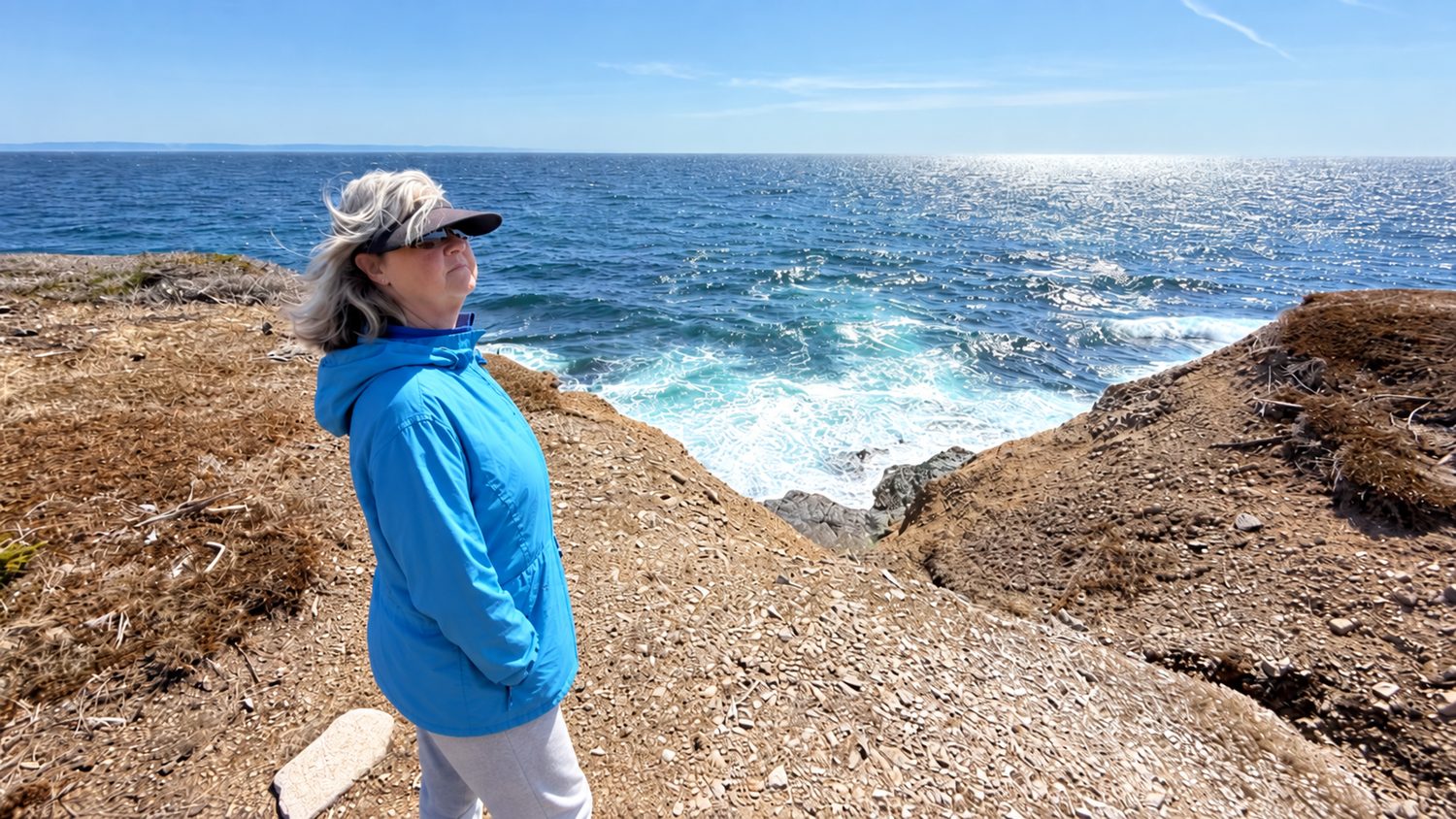
This is the kind of ground we mean: loose, uneven, and with nothing between it and the drop.
We couldn't find any records of a fatality at Boutte du Cap specifically, and we don't want to overstate that. But that's not the same as calling it safe. Newfoundland's other unguarded coastal cliffs have a documented history of fatal falls; at Cape Spear, near St. John's, fire officials have called such incidents "far too common" and specifically warn visitors to stay off the edges and away from the loose ground near them. We'd treat Boutte du Cap with that same caution.
What worked. Choosing the grass circle over the brush sites, chairs set up behind the trailer to block the wind, and taking Route 460 and the Gravels slow and easy instead of turning back the way that other couple did. Boutte du Cap gave us exactly what we needed after a wind-famous first night: a quiet cliff, a good view, and nowhere else we had to be.
What we'd change. Next time we'd walk the two harder trails out to the kittiwake colonies instead of stopping at the Bread Crumb Trail. We didn't take them this time, and we'd like to see those colonies up close.
From Boutte du Cap, the road kept going, on toward Twillingate and the icebergs waiting for us there.